Near Bardon Mill in Northumberland, England, United Kingdom — Northwestern Europe (the British Isles)
Steel Rigg
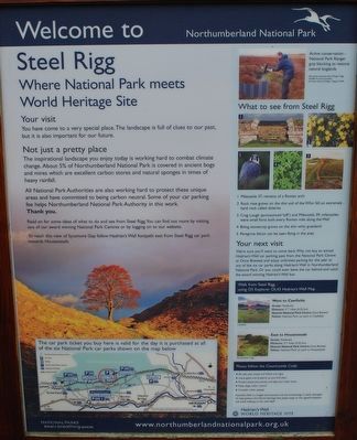
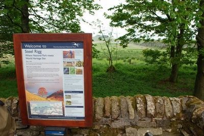
Welcome to Northumberland National Park
Your visit
You have come to a very special place. The landscape is full of clues to our past, but it is also important for our future.
Not just a pretty place
The inspirational landscape you enjoy today is working hard to combat climate change. About 5% of Northumberland National Park is covered in ancient bogs and mires which are excellent carbon stores and natural sponges in times of heavy rainfall.
All National Park Authorities are also working hard to protect these unique areas and have committed to being carbon neutral. Some of your car parking fee helps Northumberland National Park Authority in this work.
Read on for some ideas of what to do and see from Steel Rigg. You can find out more by visiting one of our award winning National Park Centres or by logging on to our website.
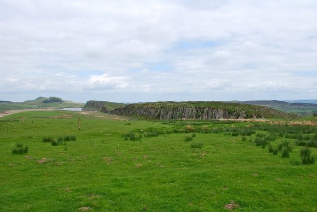
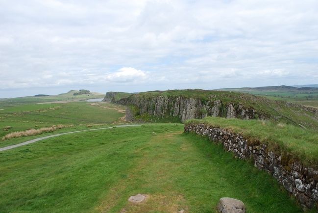
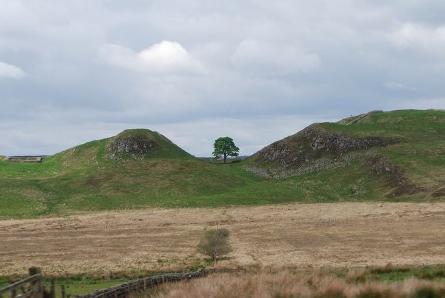
To reach this view of Sycamore Gap follow- Hadrian's Wall footpath east fro Steel Rigg car park towards Housteads.
What to see from Steel Rigg
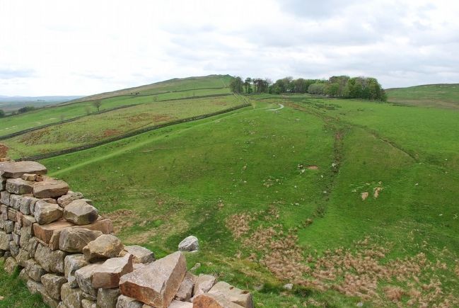
1) Milecastle 37, remains of Roman arch
2) Rock rose grows on the thin soil of the Whinn Sill, an extremely hard rock called dolerite
3) Crag Lough (pronounced 'loff') and Milecastle 39, milecastles were small forts built every Roman mile along the Wall
4) Biting stonecrop grows on the thin whin grassland
5) Peregrine falcon can be seen flying in the area
Your next visit
We're sue you'll want to come back. Why not buy an annual Hadrian's Wall car parking pass from the National Park Centre at Once Brewed, and enjoy unlimited parking for the year at any of the six car parks along Hadrian's Wall in Northumberland National Park. Or you could even leave the car behind and catch the award winning Hadrian's Wall bus.
Erected by Northumberland National Park.
Topics. This historical marker is listed in these topic lists: Forts and Castles • Horticulture & Forestry • Settlements & Settlers.
Location. 55° 0.176′ N, 2° 23.434′ W. Marker is near Bardon Mill, England, in Northumberland. Marker can be reached from 68. Traveling west from Housteads Roman Fort on B6318, turn right onto 68, Steel Rigg parking lot is on the right a short distance up the road. Touch for map. Touch for directions.
Other nearby markers. At least 8 other markers are within 3 kilometers of this marker, measured as the crow flies. The village and fort (approx. 2.2 kilometers away); The heart of the fort (approx. 2.2 kilometers away); A military community (approx. 2.2 kilometers away); Severan Circular Huts (approx. 2.3 kilometers
away); North West Quadrant Barracks (approx. 2.3 kilometers away); Beneath the soil (approx. 2.3 kilometers away); The Severan fort (approx. 2.3 kilometers away); Workshops (approx. 2.3 kilometers away).
Also see . . . Northumberland National Park. (Submitted on July 28, 2015, by Brandon Fletcher of Chattanooga, Tennessee.)
Credits. This page was last revised on January 27, 2022. It was originally submitted on July 27, 2015, by Brandon Fletcher of Chattanooga, Tennessee. This page has been viewed 408 times since then and 22 times this year. Photos: 1, 2, 3, 4, 5. submitted on July 27, 2015, by Brandon Fletcher of Chattanooga, Tennessee. 6. submitted on July 28, 2015, by Brandon Fletcher of Chattanooga, Tennessee. • Andrew Ruppenstein was the editor who published this page.
