Oswego in Oswego County, New York — The American Northeast (Mid-Atlantic)
War for Empire
A Fight for Control
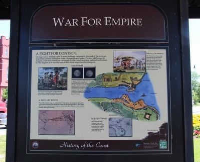
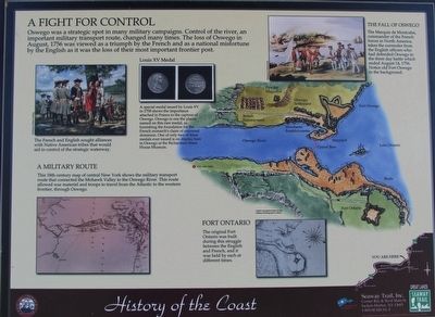
Oswego was a strategic spot in many military campaigns. Control of the river, an important military route, changed many times. The loss of Oswego in August, 1756 was viewed as a triumph by the French and as a national misfortune by the English as it was the loss of their most important frontier post.
A Military Route
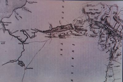
This 18th century map of central New York shows the military transport route that connected the Mohawk Valley to the Oswego River. This route allowed war material and troops to travel from the Atlantic to the western frontier, through Oswego.
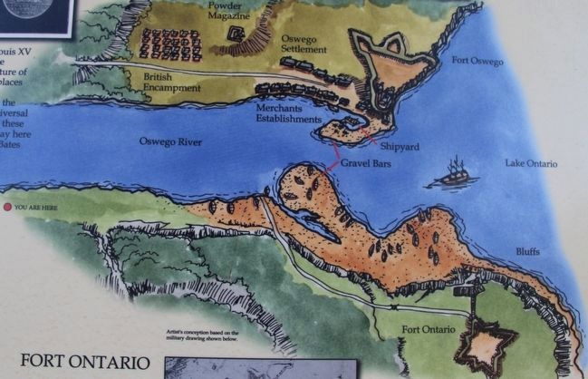
Fort Ontario
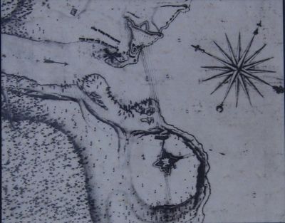
The original Fort Ontario was built during this struggle between the English and French, and it was held by each at different times.
The Fall Of Oswego
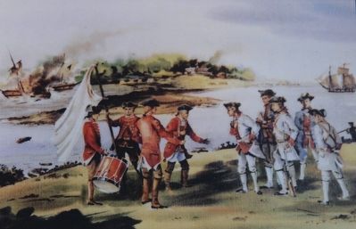
The Marquis de Montcalm, commander of the French forces in North America, takes the surrender from the English officers who had defended Oswego in the three day battle which ended August 14, 1756. Notice old Fort Oswego in the background.
Louis XV Medal
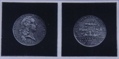
A special medal issued by Louis XV in 1758 shows the importance attached in France to the capture of Oswego. Oswego is one the places named on this rare medal, as furnishing the foundation for the French monarch's claim of universal dominion. One of only two of these medals ever issued is on display here in Oswego at the Richardson-Bates House Museum.
Erected by Seaway Trail, Inc.
Topics and series. This historical marker is listed in these topic lists: Forts and Castles • War, French and Indian. In addition, it is included in the Great Lakes Seaway Trail National Scenic Byway series list. A significant historical year for this entry is 1756.
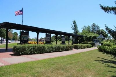
Location. 43° 27.333′ N, 76° 30.411′ W. Marker is in Oswego, New York, in Oswego County. Marker is on East 1st Street north of East Mohawk Street, on the right when traveling south. This marker is located in the downtown area, on the high ground overlooking the East side of the Oswego River, across the street from the old armory building (157 East 1st Street), along the O & W Railroad Pedestrian Promenade & Bikeway, under a canopy, with seven other Seaway Trail markers. Touch for map. Marker is in this post office area: Oswego NY 13126, United States of America. Touch for directions.
Other nearby markers. At least 8 other markers are within walking distance of this marker. The Fur Trade (here, next to this marker); Seaway Trail (here, next to this marker); People of the River (a few steps from this marker); Early Shipping (a few steps from this marker); Age of Iron Horses (a few steps from this marker); The Oswego Canal (a few steps from this marker); River Industries (a few steps from this marker); Bicentennial Peace Garden (within shouting distance of this marker). Touch for a list and map of all markers in Oswego.
Photographed By Dale K. Benington, July 22, 2015
4. War for Empire Marker
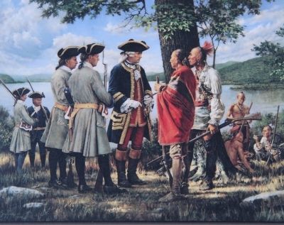
Close-up view, that is displayed on the marker, of an illustration, showing the European powers attempting to secure alliances with Native Americans in order to secure control of the strategic Oswego River to Mohawk Valley waterway.
Credits. This page was last revised on June 16, 2016. It was originally submitted on July 28, 2015, by Dale K. Benington of Toledo, Ohio. This page has been viewed 412 times since then and 18 times this year. Photos: 1, 2, 3, 4, 5, 6, 7, 8, 9, 10. submitted on July 28, 2015, by Dale K. Benington of Toledo, Ohio.
