Near Corbett in Multnomah County, Oregon — The American West (Northwest)
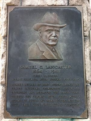
Samuel C. Lancaster
1864 – 1941
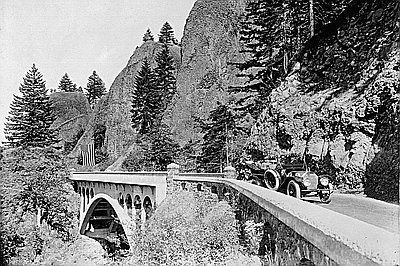
Chief Engineer, Scenic Columbia River Highway, 1913–1915.
Pioneer Builder of hard-surface roads. His genius overcame tremendous obstacles, extending and replacing the early trail through the Columbia River gorge with a highway of poetry and drama so that millions could enjoy God’s spectacular creations.
Topics. This historical marker is listed in this topic list: Roads & Vehicles. A significant historical year for this entry is 1915.
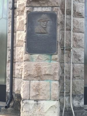
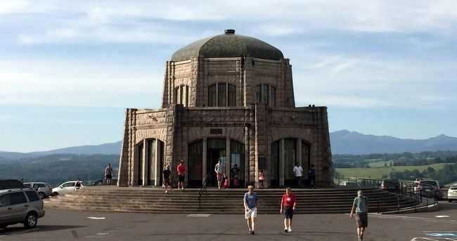
Location. 45° 32.37′ N, 122° 14.66′ W. Marker is near Corbett, Oregon, in Multnomah County. Marker is on Historic Columbia River Highway, 2.8 miles east of Corbett. It is on Vista House on Crown Point. Touch for map. Marker is at or near this postal address: 40700 Historic Columbia River Hwy, Corbett OR 97019, United States of America. Touch for directions.
Other nearby markers. At least 8 other markers are within walking distance of this marker. Marshall N. Dana (within shouting distance of this marker); Vista House (about 300 feet away, measured in a direct line); Camping Among the Giants (approx. 0.7 miles away); Rooster Rock State Park (approx. 0.7 miles away); Lewis and Clark Expedition (approx. 0.7 miles away); Chanticleer Point (approx. 0.9 miles away); a different marker also named Chanticleer Point (approx. 0.9 miles away); Samuel Hill – “Road Builder” (approx. 0.9 miles away). Touch for a list and map of all markers in Corbett.
Also see . . . Samuel C. Lancaster. Wikipedia entry (Submitted on February 28, 2022, by Larry Gertner of New York, New York.)
Credits. This page was last revised on April 25, 2022. It was originally submitted on July 29, 2015, by J. J. Prats of Powell, Ohio. This page has been viewed 452 times since then and 27 times this year. Photos: 1, 2, 3. submitted on July 29, 2015, by J. J. Prats of Powell, Ohio. 4. submitted on April 25, 2022, by Larry Gertner of New York, New York.


