Salem in Essex County, Massachusetts — The American Northeast (New England)
Derby Wharf
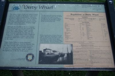
The wharf in front of you was Salemís longest, and was once one of the busiest in the nation. During the War of Independence, American privateers sailed from here to prey on British ships on the high seas. After the war, fleets of trading vessels based here sailed to the Far East and other exotic ports, bringing wealth to Salem and its shipowners.
Although the wharf faces the U.S. Custom House behind you, it was not owned by the government. The wharf belonged to shipowner Elias Hasket Derby, who, with his father Richard, built the first 800 feet of it about 1770. In 1808 Derbyís heirs completed a 1,300-foot extension. Cargoes were stored in spacious three-story warehouses attached to the wharf.
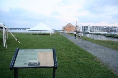
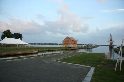
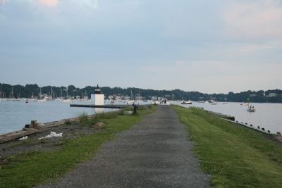
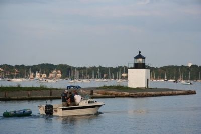
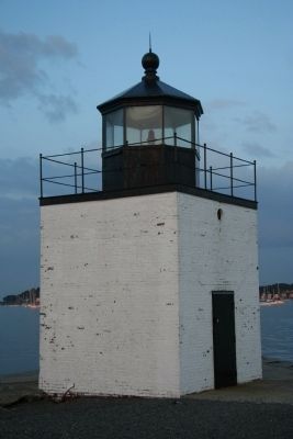
Today Derby Wharf is being preserved within Salem Maritime National Historic Site. The ships and the old warehouses are gone, but portions of the original wharf remain. A walkway beginning here leads ½ mile to the lighthouse at the tip of the wharf.
Erected by U.S. Park Service.
Topics. This historical marker is listed in these topic lists: Industry & Commerce • Landmarks • Waterways & Vessels. A significant historical year for this entry is 1770.
Location. Marker has been reported missing. It was located near 42° 31.277′ N, 70° 53.215′ W. Marker was in Salem, Massachusetts, in Essex County. Marker was at the intersection of Derby Street and Orange Street, on the right when traveling east on Derby Street. This historical marker is located directly across the street (Derby Street) from the U.S. Customs House, at the base of Derby Wharf. Touch for map. Marker was in this post office area: Salem MA 01970, United States of America. Touch for directions.
Other nearby markers. At least 8 other markers are within walking distance of this location. A different marker also named Derby Wharf (here, next to this marker); The Custom House (a few steps from this marker); Wharves in the late 1800's (within shouting distance of this marker); Derby House (within shouting distance of this marker); Home for Aged Women (within shouting distance of this marker); West India Goods Store (within shouting distance of this marker); The Hawkes House (within shouting distance of this marker); Wharves in the Early 1800s (within shouting distance of this marker). Touch for a list and map of all markers in Salem.
More about this marker. This marker has been replaced by another marker with the same name but different text.
Credits. This page was last revised on October 8, 2020. It was originally submitted on October 28, 2009, by Dale K. Benington of Toledo, Ohio. This page has been viewed 832 times since then and 18 times this year. Last updated on July 31, 2015, by J. Makali Bruton of Accra, Ghana. Photos: 1, 2, 3, 4, 5, 6. submitted on October 28, 2009, by Dale K. Benington of Toledo, Ohio. • Bill Pfingsten was the editor who published this page.
