Tamaqua in Schuylkill County, Pennsylvania — The American Northeast (Mid-Atlantic)
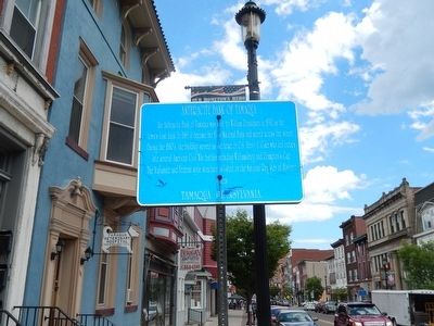
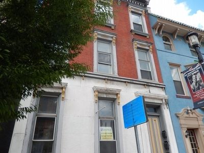
Anthracite Bank of Tamaqua
Erected by Tamaqua, Pennsylvania.
Topics. This historical marker is listed in these topic lists: Industry & Commerce • War, US Civil. A significant historical year for this entry is 1850.
Location. 40° 47.831′ N, 75° 58.364′ W. Marker is in Tamaqua, Pennsylvania, in Schuylkill County. Marker is at the intersection of West Broad Street (U.S. 209) and North Nescopec Street, on the right when traveling west on West Broad Street. Touch for map. Marker is in this post office area: Tamaqua PA 18252, United States of America. Touch for directions.
Other nearby markers. At least 8 other markers are within walking distance of this marker. Anthracite Railroader Memorial (about 800 feet away, measured in a direct line); Reading & Northern Railroad (about 800 feet away); Colliery Bell (approx. 0.2 miles away); Little Schuylkill Railroad (approx. 0.2 miles away); Tamaqua (approx. 0.2 miles away); The Murder of Benjamin Yost (approx. ¼ mile away); Odd Fellows Cemetery (approx. 0.3 miles away); Burkhardt Moser Log Home (approx. 0.4 miles away). Touch for a list and map of all markers in Tamaqua.
Credits. This page was last revised on June 16, 2016. It was originally submitted on August 5, 2015, by Don Morfe of Baltimore, Maryland. This page has been viewed 454 times since then and 25 times this year. Photos: 1, 2. submitted on August 5, 2015, by Don Morfe of Baltimore, Maryland. • Bernard Fisher was the editor who published this page.

