Morrisburg in Stormont, Dundas and Glengarry United Counties, Ontario — Central Canada (North America)
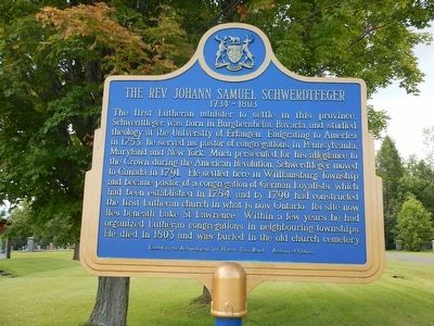
The Rev. Johann Samuel Schwerdtfeger
1734 - 1803
The first Lutheran minister to settle in this province, Schwerdtfeger was born in Burgbernheim, Bavaria, and studied theology at the University of Erlangen. Emigrating to America in 1753, he served as pastor of congregations in Pennsylvania, Maryland and New York. Much persecuted for his allegiance to the Crown during the American Revolution, Schwerdtfeger moved to Canada in 1791. He settled here in Williamsburg Township and became pastor of a congregation of German Loyalists, which had been established in 1784, and by 1790 had constructed the first Lutheran church in what is now Ontario. Its site now lies beneath Lake St. Lawrence. Within a few years he had organized Lutheran congregations in neighbouring townships. He died in 1803 and was buried in the old church cemetery.
Erected by Archaeological and Historic Sites Board, Archives of Ontario.
Topics. This historical marker is listed in these topic lists: Churches & Religion • Settlements & Settlers • War, US Revolutionary. A significant historical year for this entry is 1753.
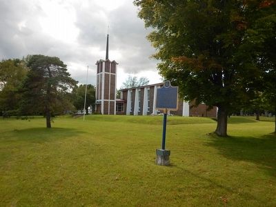
Location. 44° 55.975′ N, 75° 7.742′ W. Marker is in Morrisburg, Ontario, in Stormont, Dundas and Glengarry United Counties. Marker is on Riverside Drive, on the right when traveling west. Touch for map. Marker is in this post office area: Morrisburg ON K0C 1X0, Canada. Touch for directions.
Other nearby markers. At least 8 other markers are within 5 kilometers of this marker, measured as the crow flies. Sir James Pliny Whitney (within shouting distance of this marker); Churches of South Dundas (approx. one kilometer away); Aultsville Train Station and Locomotive 1008 (approx. 3.2 kilometers away); George H. Challies (approx. 4.6 kilometers away); Battlefield of Crysler’s Farm (approx. 4.7 kilometers away); Battle of Crysler’s Farm 1813 (approx. 4.7 kilometers away); Battle of Crysler’s Farm (approx. 4.7 kilometers away); Loyalist American Regiments / Loyalists of the Indian Nations / Sir John Johnson (approx. 4.9 kilometers away). Touch for a list and map of all markers in Morrisburg.
More about this marker. Riverside Drive runs parallel to Ontario Route 2 for 1½ miles, 3 miles east of Morrisburg.
Credits. This page was last revised on June 1, 2017. It was originally submitted on August 8, 2015, by Kevin Craft of Bedford, Quebec. This page has been viewed 286 times since then and 9 times this year. Photos: 1, 2. submitted on August 8, 2015, by Kevin Craft of Bedford, Quebec. • Andrew Ruppenstein was the editor who published this page.

