Casper in Natrona County, Wyoming — The American West (Mountains)
City of Casper
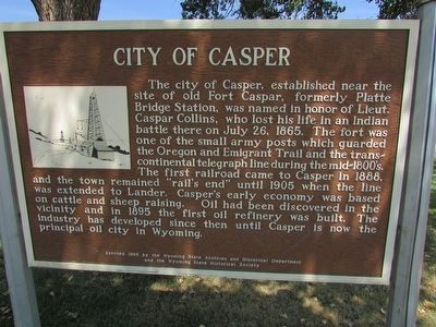
The city of Casper, established near the site of old Fort Casper, formerly Plate Bridge Station, was named in honor of Lieut. Casper Collins, who lost his life in an Indian battle there on July 26, 1865. The fort was one of the small army posts which guarded the Oregon and Emigrant Trail and the transcontinental telegraph line during the mid-1800ís. The first railroad came to Casper in 1888, and the town remained “railís end” until 1905 when the line was extended to Lander. Casperís early economy was based on cattle and sheep raising. Oil had been discovered in the vicinity and in 1895 the first oil refinery was built. The industry has developed since then until Casper is now the principal oil city in Wyoming.
Erected 1965 by Wyoming State Archives and Historical Department and the Wyoming State Historical Society.
Topics. This historical marker is listed in these topic lists: Notable Places • Settlements & Settlers. A significant historical month for this entry is July 1908.
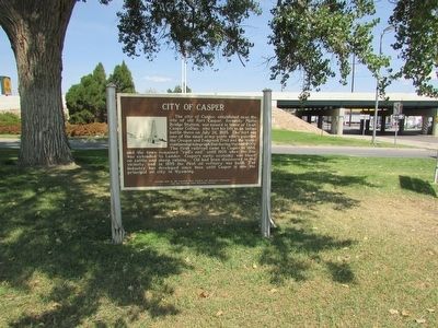
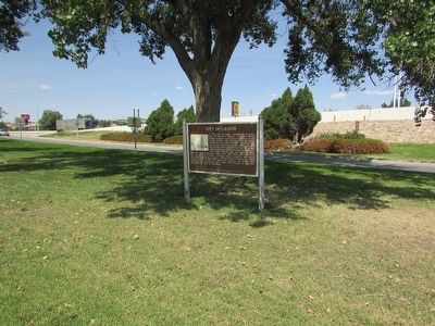
Location. 42° 51.395′ N, 106° 19.524′ W. Marker is in Casper, Wyoming, in Natrona County. Marker is at the intersection of N Center Street and W E Street, on the left when traveling north on N Center Street. Touch for map. Marker is in this post office area: Casper WY 82601, United States of America. Touch for directions.
Other nearby markers. At least 8 other markers are within 2 miles of this marker, measured as the crow flies. Pioneer Monument / Fort Casper (approx. 0.3 miles away); Monument Corrections (approx. 0.3 miles away); Oregon-California Trail (approx. half a mile away); Wyoming's Oil & Gas (approx. 0.9 miles away); Cable Tool Drilling Rig (approx. 0.9 miles away); Giving Shape to History (approx. one mile away); Casper: "The Oil Capital of the Rockies" (approx. 1Ĺ miles away); The Armory (approx. 1Ĺ miles away). Touch for a list and map of all markers in Casper.
Credits. This page was last revised on June 16, 2016. It was originally submitted on August 9, 2015, by Bill Coughlin of Woodland Park, New Jersey. This page has been viewed 324 times since then and 11 times this year. Photos: 1, 2, 3, 4. submitted on August 9, 2015, by Bill Coughlin of Woodland Park, New Jersey.


