Fort Laramie in Goshen County, Wyoming — The American West (Mountains)
Embassy on the Northern Plains
Fort Laramie National Historic Site
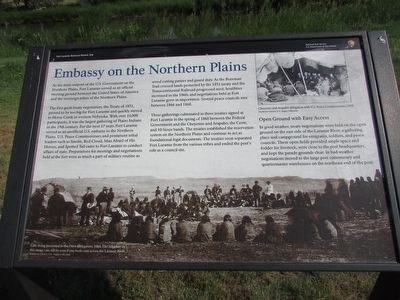
As the main outpost of the U.S. Government on the Northern Plains, Fort Laramie served as an official meeting ground between the United States of America and the sovereign tribes of the Northern Plains.
The first great treaty negotiation, the Treaty of 1851, proved to be too big for Fort Laramie and quickly moved to Horse Creek in western Nebraska. With over 10,000 participants, it was the largest gathering of Plains Indians in the 19th century. For the next 17 years Fort Laramie served as an unofficial U.S. embassy to the Northern Plains. U.S. Peace Commissioners and prominent tribal leaders such as Smoke, Red Cloud, Man Afraid of His Horses, and Spotted Tail came to Fort Laramie to conduct affairs of state. Preparations for meetings and negotiations held at the fort were as much a part of military routine as wood cutting parties and guard duty. As the Bozeman Trail crossed lands protected by the 1851 treaty and the Transcontinental Railroad progressed west, hostilities increased in the 1860s and negotiations held at Fort Laramie grew in importance. Several peace councils met between 1866 and 1868.
These gatherings culminated in three treaties signed at Fort Laramie in the spring of 1868 between the Federal Government and the Cheyenne and Arapaho, the Crow, and 10 Sioux bands. The treaties established the reservation system on the Northern Plains and continue to act as foundational legal documents. The treaties soon separated Fort Laramie from the various tribes and ended the post’s role as a council site.
Open Ground with Easy Access
In good weather, treaty negotiations were held on the open ground on the east side of the Laramie River, a gathering place and campground for emigrants, soldier, and peace councils. These open fields provided ample space and fodder for livestock, were close to the post headquarters, and kept the parade grounds clear. In bad weather negotiations moved to the large post commissary and quartermaster warehouses on the northeast end of the post.
Erected by National Park Service, U.S. Department of the Interior.
Topics. This historical marker is listed in these topic lists: Forts and Castles • Native Americans. A significant historical year for this entry is 1851.
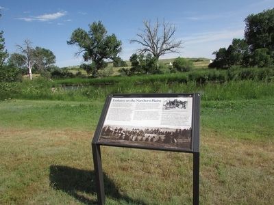
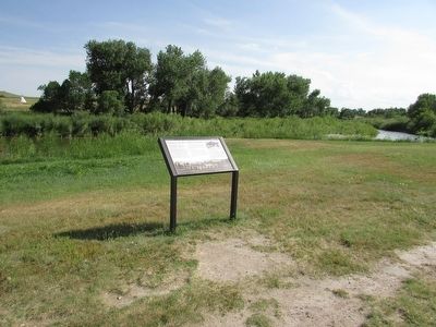
Location. 42° 12.157′ N, 104° 33.343′ W. Marker is in Fort Laramie, Wyoming, in Goshen County. Marker can be reached from 160, on the left when traveling west. Marker is located at Fort Laramie National Historic Site. Touch for map. Marker is in this post office area: Fort Laramie WY 82212, United States of America. Touch for directions.
Other nearby markers. At least 8 other markers are within walking distance of this marker. Crossroads of a Nation Moving West (within shouting distance of this marker); Site of Army Bridge (within shouting distance of this marker); Post Quartermaster’s Area (within shouting distance of this marker); Handcarts – The New Plan (within shouting distance of this marker); The Queens of Soap Suds Row (about 300 feet away, measured in a direct line); The Post Bakeries (about 300 feet away); General Sink (Latrine) (about 300 feet away); Guardhouse (about 300 feet away). Touch for a list and map of all markers in Fort Laramie.
More about this marker. The background of the marker features a photograph of “Gifts being presented to the Crow Delegation, 1868. The ridgeline in this image can still be seen if one looks east across the Laramie River.” At the upper right of the marker is a photograph of “Cheyenne and Arapaho delegation with U.S. Peace Commissioners, 1868.”
Also see . . . Fort Laramie National Historic Site. (Submitted on August 10, 2015, by Bill Coughlin of Woodland Park, New Jersey.)
Credits. This page was last revised on December 29, 2022. It was originally submitted on August 10, 2015, by Bill Coughlin of Woodland Park, New Jersey. This page has been viewed 395 times since then and 13 times this year. Photos: 1, 2, 3. submitted on August 10, 2015, by Bill Coughlin of Woodland Park, New Jersey.


