Fort Laramie in Goshen County, Wyoming — The American West (Mountains)
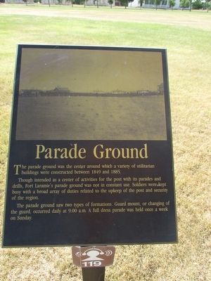
Parade Ground
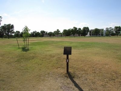
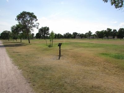
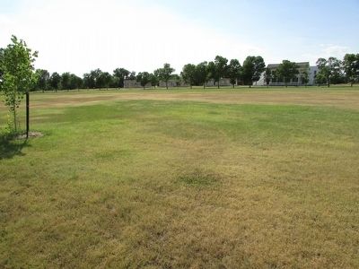
The parade ground was the center around which a variety of utilitarian buildings were constructed between 1849 and 1885.
Though intended as a center of activities for the post with its parades and drills, Fort Laramie’s parade ground was not in constant use. Soldiers were kept busy with a broad array of duties related to the upkeep of the post and security of the region.
The parade ground saw two types of formations. Guard mount or changing of the guard, occurred daily at 9:00 a.m. A full dress parade was held once a week on Sunday.
Erected by National Park Service.
Topics. This historical marker is listed in this topic list: Forts and Castles. A significant historical year for this entry is 1849.
Location. 42° 12.127′ N, 104° 33.444′ W. Marker is in Fort Laramie, Wyoming, in Goshen County. Marker can be reached from State Highway 160, on the left when traveling west. Marker is located at Fort Laramie National Historic Site. Touch for map. Marker is in this post office area: Fort Laramie WY 82212, United States of America. Touch for directions.
Other nearby markers. At least 8 other markers are within walking distance of this marker. The “New” Guardhouse and Adjacent Barracks (within shouting distance of this marker); General Sink (Latrine) (within shouting distance of this marker); Guardhouse (within shouting distance of this marker); Administration Building (within shouting distance of this marker); Military Justice: Punishment Harsh and Certain (within shouting distance of this marker); The Queens of Soap Suds Row (within shouting distance of this marker); Site of Army Bridge (about 300 feet away, measured in a direct line); Reading, ‘Riting, and ‘Rithmetic (about 300 feet away). Touch for a list and map of all markers in Fort Laramie.
Also see . . . Fort Laramie National Historic Site. (Submitted on August 10, 2015, by Bill Coughlin of Woodland Park, New Jersey.)
Credits. This page was last revised on June 16, 2016. It was originally submitted on August 10, 2015, by Bill Coughlin of Woodland Park, New Jersey. This page has been viewed 380 times since then and 21 times this year. Photos: 1, 2, 3, 4. submitted on August 10, 2015, by Bill Coughlin of Woodland Park, New Jersey.


