Village of Bushkill
Delaware Water Gap National Recreation Area
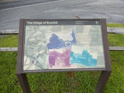
When farming declined at the end of the 1900s, villagers turned to a new source of income in the emerging recreation industry. Resorts and boarding houses sprang up. By 1901, there were even a railroad which brought vacationers from the cities to Bushkill via the Stroudsburgs. (Today, a part of the railbed is the Railway Avenue footpath.)
By the 1960s, Bushkill included nearly 200 dwelling. However, with the purchase of homes and businesses by the federal government for the proposed Tocks Island Dam, most of the village disappeared. Remnants of Bushkill are still visible: the church and cemetery, the post office building, the foundation of the mill, the general store, and the craft gallery on the corner.
(Inscription regarding the images)
(Far left)
Map of Bushkill in 1872, the shaded areas indicate the buildings in the photographs. Bushkill around 1960:
(Above)
The west side of Route 209. The white building is still in use today as a general store.
(Middle left)
The
(Left)
The north bank of Bushkill Creek. The 209 bridge is just visible at the left.
(Background)
The millworks.
Erected by National Park Service-United States Department of the Interior.
Topics. This historical marker is listed in this topic list: Settlements & Settlers. A significant historical year for this entry is 1750.
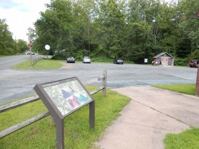
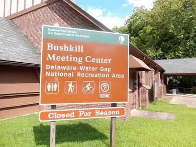
Location. 41° 5.394′ N, 75° 0.251′ W. Marker is in Bushkill, Pennsylvania, in Pike County. Marker is on Milford Road (US 209). The marker is on the grounds of the Bushkill Meeting Center. Touch for map. Marker is in this post office area: Bushkill PA 18324, United States of America. Touch for directions.
Other nearby markers. At least 8 other markers are within 5 miles of this marker, measured as the crow flies. Delaware Water Gap National Recreation Area (here, next to this marker); Fort Hyndshaw (approx. 0.3 miles away); a different marker also named Delaware Water Gap National Recreation Area (approx. 1˝ miles away); Old Mine Road (approx. 1.6 miles away in New Jersey); Dutch Settlers (approx. 1.9 miles away); a different marker also named Old Mine Road (approx. 3.8 miles away in New Jersey); Marshalls Creek Explosion (approx. 4.6 miles away); Delaware Water Gap (approx. 4.9 miles away). Touch for a list and map of all markers in Bushkill.
Credits. This page was last revised on June 16, 2016. It was originally submitted on August 12, 2015, by Don Morfe of Baltimore, Maryland. This page has been viewed 676 times since then and 73 times this year. Photos: 1, 2, 3, 4. submitted on August 12, 2015, by Don Morfe of Baltimore, Maryland. • Bill Pfingsten was the editor who published this page.


