Belcher in Caddo Parish, Louisiana — The American South (West South Central)
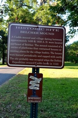
Belcher Mound
Historic Site
Erected by Red River Crossroads Historical Association.
Topics. This historical marker is listed in these topic lists: Anthropology & Archaeology • Exploration • Native Americans • Settlements & Settlers. A significant historical year for this entry is 1450.
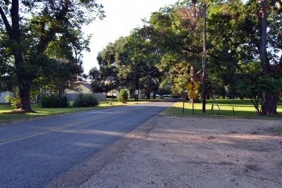
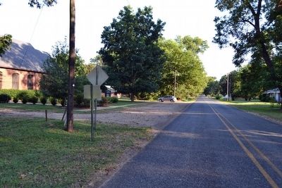
Location. 32° 45.058′ N, 93° 49.97′ W. Marker is in Belcher, Louisiana, in Caddo Parish. Marker is on Gray Street (State Highway 3049) north of Louisiana Street, on the right when traveling north. Touch for map. Marker is in this post office area: Belcher LA 71004, United States of America. Touch for directions.
Other nearby markers. At least 8 other markers are within walking distance of this marker. Belcher Presbyterian Church (within shouting distance of this marker); Ruben T. Glassell House (about 400 feet away, measured in a direct line); First State Bank of Belcher (about 400 feet away); Minnie Clyde Dixon Connell (about 800 feet away); Belcher Methodist Church (approx. 0.2 miles away); Horseshoe Bayou Bridge On LA. 530 (approx. 0.2 miles away); Belcher High School (approx. ¼ mile away); Louisiana Maneuvers Led by General Patton (approx. ¼ mile away). Touch for a list and map of all markers in Belcher.
Also see . . . Belcher Mound Site - Wikipedia entry. (Submitted on August 13, 2015.)
Credits. This page was last revised on September 22, 2020. It was originally submitted on August 13, 2015, by Duane Hall of Abilene, Texas. This page has been viewed 861 times since then and 65 times this year. Photos: 1, 2, 3. submitted on August 13, 2015, by Duane Hall of Abilene, Texas.


