Marker Logo HMdb.org THE HISTORICAL
MARKER DATABASE
“Bite-Size Bits of Local, National, and Global History”
Near Belcher in Caddo Parish, Louisiana — The American South (West South Central)
 

Lynn Plantation

Historic Site


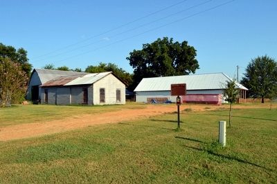
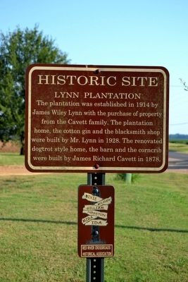
Lynn Plantation Marker image. Click for full size.
Photographed By Duane Hall, August 3, 2015
1. Lynn Plantation Marker
Inscription. The plantation was established in 1914 by James Wiley Lynn with the purchase of property from the Cavett family. The plantation home, the cotton gin and the blacksmith shop were built by Mr. Lynn in 1928. The renovated dogtrot style home, the barn and the corncrib were built by James Richard Cavett in 1878.
 
Erected by Red River Crossroads Historical Association.
 
Topics. This historical marker is listed in this topic list: Agriculture. A significant historical year for this entry is 1914.
 
Location. 32° 47.536′ N, 93° 50.276′ W. Marker is near Belcher, Louisiana, in Caddo Parish. Marker is on State Highway 3049, ¼ mile south of Cavett River Road, on the right when traveling north. Touch for map. Marker is in this post office area: Belcher LA 71004, United States of America. Touch for directions.
 
Other nearby markers. At least 8 other markers are within 3 miles of this marker, measured as the crow flies. J.W. Lynn Plantation Commissary (a few steps from this marker); Justice Chapel Baptist Church (approx. 0.7 miles away); Cedar Bluff Ferry (approx. 1.2 miles away); Caddo Indian Dugout Canoe (approx. 2.2 miles away); Linda Lay Memorial (approx. 2.3 miles away); TS&N/T&P Railroad (approx. 2.4 miles away); Town of Gilliam (approx. 2.4 miles away); Caddo Prairie Crossroads (approx. 2.4 miles away). Touch for a list and map of all markers in Belcher.
 
Paid Advertisement
Click on the ad for more information.
Please report objectionable advertising to the Editor.
Click or scan to see
this page online
Lynn Plantation Marker image. Click for full size.
Photographed By Duane Hall, August 3, 2015
2. Lynn Plantation Marker
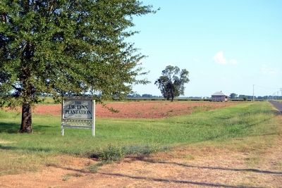
The J.W. Lynn Plantation, Est. 1914 image. Click for full size.
Photographed By Duane Hall, August 3, 2015
3. The J.W. Lynn Plantation, Est. 1914
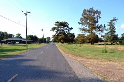
View to North Along State Highway 3049 image. Click for full size.
Photographed By Duane Hall, August 3, 2015
4. View to North Along State Highway 3049
Marker is on right (east) side of highway
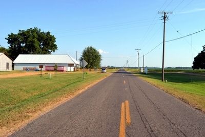
View to South Along State Highway 3049 image. Click for full size.
Photographed By Duane Hall, August 3, 2015
5. View to South Along State Highway 3049
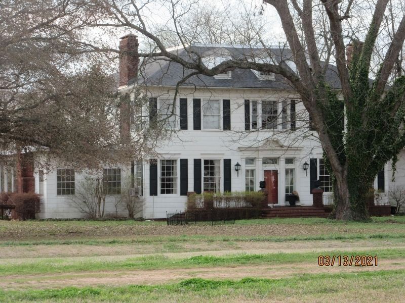
Lynn Plantation on both sides of highway
Lynn Plantation image. Click for full size.
Photographed By Jason Armstrong, March 13, 2021
6. Lynn Plantation
 
 
Credits. This page was last revised on June 7, 2021. It was originally submitted on August 14, 2015, by Duane Hall of Abilene, Texas. This page has been viewed 1,237 times since then and 102 times this year. Photos:   1, 2, 3, 4, 5. submitted on August 14, 2015, by Duane Hall of Abilene, Texas.   6. submitted on June 7, 2021, by Jason Armstrong of Talihina, Oklahoma.
Share this page.  
Share on Tumblr
m=87159

CeraNet Cloud Computing sponsors the Historical Marker Database.
This website earns income from purchases you make after using our links to Amazon.com. We appreciate your support.
Paid Advertisement
Apr. 25, 2024