Marker Logo HMdb.org THE HISTORICAL
MARKER DATABASE
“Bite-Size Bits of Local, National, and Global History”
Near Sicily Island in Catahoula Parish, Louisiana — The American South (West South Central)
 

Peck Village

Ancient Mounds Trail


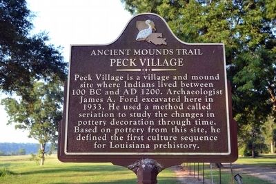
Peck Village Marker image. Click for full size.
Photographed By Duane Hall, August 4, 2015
1. Peck Village Marker
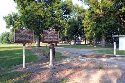
Inscription. Peck Village is a village and mound site where Indians lived between 100 BC and AD 1200. Archaeologist James A. Ford excavated here in 1933. He used a method called seriation to study the changes in pottery decoration through time. Based on pottery from this site, he defined the first culture sequence for Louisiana prehistory.
 
Topics and series. This historical marker is listed in these topic lists: Native AmericansScience & MedicineSettlements & Settlers. In addition, it is included in the Louisiana Ancient Mounds Trail series list. A significant historical year for this entry is 1200.
 
Location. 31° 49.514′ N, 91° 39.071′ W. Marker is near Sicily Island, Louisiana, in Catahoula Parish. Marker is on Peck Road (State Highway 1017) 1.4 miles south of State Highway 8, on the right when traveling south. Marker is located at the end of the public-maintained segment of Peck Road. Touch for map. Marker is in this post office area: Sicily Island LA 71368, United States of America. Touch for directions.
 
Other nearby markers. At least 8 other markers are within 11 miles of this marker, measured as the crow flies. Peck Mounds (here, next to this marker); Lamarque Landing Mound (approx. 6.9 miles away); Boothe Landing Mound (approx. 8.8 miles away); Alexander Mound (approx. 9.7 miles away); Cypress Grove Mound
Paid Advertisement
Click on the ad for more information.
Please report objectionable advertising to the Editor.
Click or scan to see
this page online
(approx. 10 miles away); Fort Beauregard Veterans Memorial (approx. 10.6 miles away); Gene King (approx. 10.7 miles away); Catahoula Parish Veterans Memorial (approx. 10.7 miles away).
 
Peck Village and Peck Mounds Markers image. Click for full size.
Photographed By Duane Hall, August 4, 2015
2. Peck Village and Peck Mounds Markers
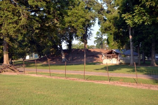
View to the southwest with Mound E of the Peck Mounds behind the markers to the right
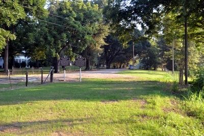
Peck Village and Peck Mounds Markers image. Click for full size.
Photographed By Duane Hall, August 4, 2015
3. Peck Village and Peck Mounds Markers
View to the north
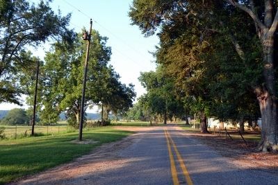
Peck Village and Peck Mounds Markers<br>at the End of Peck Road image. Click for full size.
Photographed By Duane Hall, August 4, 2015
4. Peck Village and Peck Mounds Markers
at the End of Peck Road
View to the southwest with markers at the end of the public-maintained segment of Peck Road
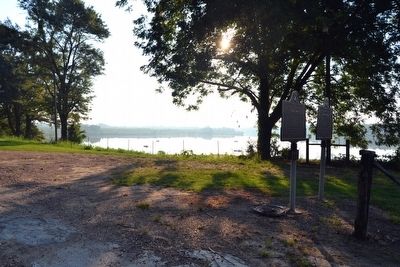
Lovelace Lake image. Click for full size.
Photographed By Duane Hall, August 4, 2015
5. Lovelace Lake
View to the northeast
Mound E of the Peck Mounds image. Click for full size.
Photographed By Duane Hall, August 4, 2015
6. Mound E of the Peck Mounds
Mound E is the largest of the five mounds
 
 
Credits. This page was last revised on March 31, 2018. It was originally submitted on August 14, 2015, by Duane Hall of Abilene, Texas. This page has been viewed 427 times since then and 38 times this year. Photos:   1, 2, 3, 4, 5, 6. submitted on August 14, 2015, by Duane Hall of Abilene, Texas.
Share this page.  
Share on Tumblr
m=87165

CeraNet Cloud Computing sponsors the Historical Marker Database.
This website earns income from purchases you make after using our links to Amazon.com. We appreciate your support.
Paid Advertisement
Apr. 25, 2024