Marker Logo HMdb.org THE HISTORICAL
MARKER DATABASE
“Bite-Size Bits of Local, National, and Global History”
Near Fayette in Jefferson County, Mississippi — The American South (East South Central)
 

Bullen Creek


Bullen Creek Marker (Missing) image. Click for full size.
1. Bullen Creek Marker (Missing)
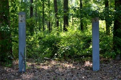
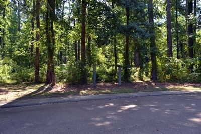
Marker is missing. If you have a picture of the missing marker, please add it to this page using the Add Photo link above.
Inscription. Before your very eyes an endless struggle is taking place. Trees are striving here for the essentials of life – water, sunlight and space. Trying to get ahead, the hardwoods push upward, their crowns filling all the overhead space, shutting out sunlight from young seedlings. Like their elders, this younger generation also has to fight for survival. The competition is keen and the hardwoods are winning over the pines. A 15-minute walk along this trail will take you from a mixed hardwood-pine forest (the loser) to a mixed hardwood (the winner).
 
Erected by National Park Service.
 
Topics and series. This historical marker is listed in this topic list: Environment. In addition, it is included in the Natchez Trace series list.
 
Location. Marker has been reported missing. It was located near 31° 43.42′ N, 91° 10.53′ W. Marker was near Fayette, Mississippi, in Jefferson County. Marker was on Natchez Trace Parkway (at milepost 18.4), 1.6 miles south of Mississippi Highway 553, on the right when traveling north. Touch for map. Marker was in this post office area: Fayette MS 39069, United States of America. Touch for directions.
 
Other nearby markers. At least 8 other markers are within 6 miles of this location, measured as the crow flies. Springfield (approx. 2.1 miles away); Old Greenville
Paid Advertisement
Click on the ad for more information.
Please report objectionable advertising to the Editor.
Click or scan to see
this page online
(approx. 2.6 miles away); Mount Locust (approx. 2.7 miles away); a different marker also named Mount Locust (approx. 2.7 miles away); Church Hill (approx. 3.7 miles away); Salem Church (approx. 5.2 miles away); Mississippi- Fertile Ground for Leadership Development (approx. 5.2 miles away); The Baptist Children's Village (approx. 5.2 miles away). Touch for a list and map of all markers in Fayette.
 
Also see . . .  Natchez Trace Parkway ⍼. Official National Park Service website. (Submitted on August 16, 2015.) 
 
Support Posts for Missing Bullen Creek Marker image. Click for full size.
Photographed By Duane Hall, August 4, 2015
2. Support Posts for Missing Bullen Creek Marker
Bullen Creek Marker (Missing) image. Click for full size.
Photographed By Duane Hall, August 4, 2015
3. Bullen Creek Marker (Missing)
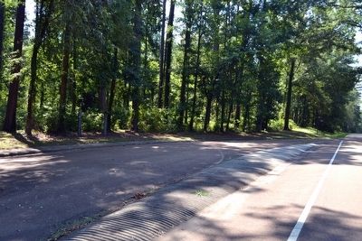
View to South from Natchez Trace Parkway image. Click for full size.
Photographed By Duane Hall, August 4, 2015
4. View to South from Natchez Trace Parkway
Marker is on left (east) side of parkway
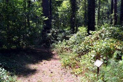
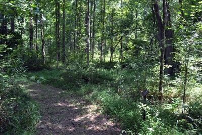
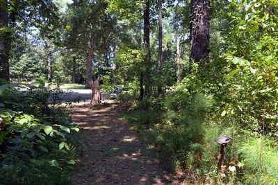
The Beginning of the Bullen Creek Nature Trail image. Click for full size.
Photographed By Duane Hall, August 4, 2015
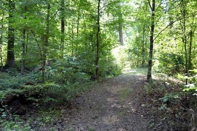
5. The Beginning of the Bullen Creek Nature Trail
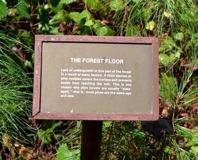
The Forest Floor Interpretive Sign image. Click for full size.
Photographed By Duane Hall, August 4, 2015
6. The Forest Floor Interpretive Sign
Lack of undergrowth in this part of the forest is a result of many factors. A thick blanket of pine needles covers the surface and prevents seeds from reaching the soil. This is one reason why pine forests are usually “even-aged,” that is, most pines are the same age and size.
Southern Magnolia Tree next to Trail image. Click for full size.
Photographed By Duane Hall, August 4, 2015
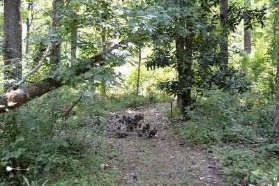
7. Southern Magnolia Tree next to Trail
Southern Magnolia Interpretive Sign image. Click for full size.
Photographed By Duane Hall, August 4, 2015
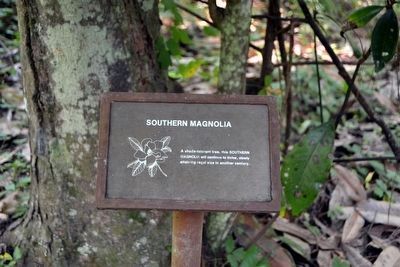
8. Southern Magnolia Interpretive Sign
A shade-tolerant tree, this southern magnolia will continue to thrive, slowly attaining regal size in another century.
Loblolly Pine Tree image. Click for full size.
Photographed By Duane Hall, August 4, 2015
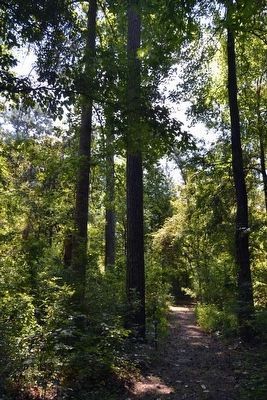
9. Loblolly Pine Tree
Loblolly Pine Interpretive Sign image. Click for full size.
Photographed By Duane Hall, August 4, 2015
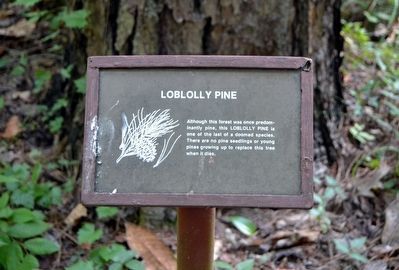
10. Loblolly Pine Interpretive Sign
Although this forest was once predominantly pine, this loblolly pine is one of the last of a doomed species. There are no pine seedlings or young pines growing up to replace this tree when it dies.
Black Cherry Tree image. Click for full size.
Photographed By Duane Hall, August 4, 2015
11. Black Cherry Tree
Black Cherry Interpretive Sign image. Click for full size.
Photographed By Duane Hall, August 4, 2015
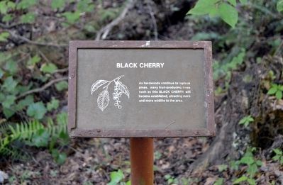
12. Black Cherry Interpretive Sign
As hardwoods continue to replace pines, many fruit-producing trees such as this black cherry will become established, attracting more and more wildlife to this area.
Trail near Southern Pine Beetle Interpretive Sign image. Click for full size.
Photographed By Duane Hall, August 4, 2015
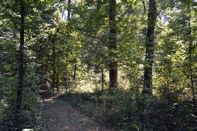
13. Trail near Southern Pine Beetle Interpretive Sign
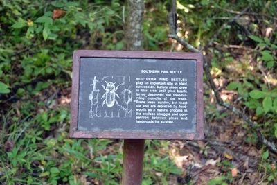
Southern Pine Beetle Interpretive Sign image. Click for full size.
Photographed By Duane Hall, August 4, 2015
14. Southern Pine Beetle Interpretive Sign
Southern pine beetles play an important role in plant succession. Mature pines grew in this area until pine beetle larvae destroyed the food-carrying capacity of the trees. Some trees survive, but most die and are replaced by hardwoods as a natural process in the endless struggle and competition between pines and hardwoods for survival.
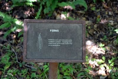
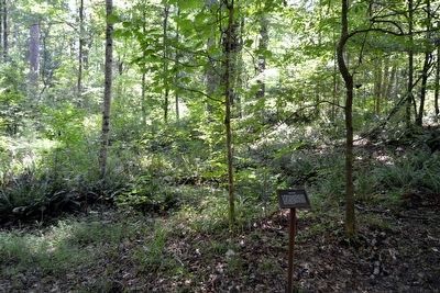
Ferns image. Click for full size.
Photographed By Duane Hall, August 4, 2015
15. Ferns
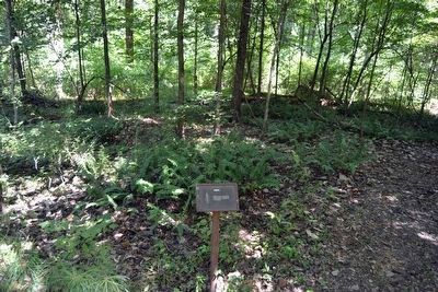
Ferns Interpretive Sign image. Click for full size.
Photographed By Duane Hall, August 4, 2015
16. Ferns Interpretive Sign
Ferns thrive in cool moist soils under hardwood canopies. Decaying hardwood leaves continuously fertilize the shade-loving ferns.
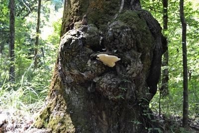
A Tree Gall image. Click for full size.
Photographed By Duane Hall, August 4, 2015
17. A Tree Gall
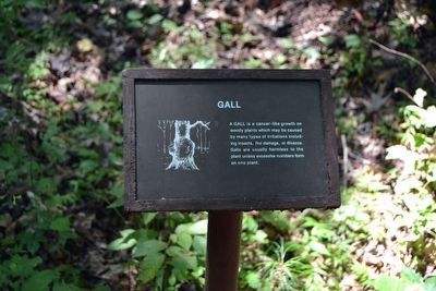
Gall Interpretive Sign image. Click for full size.
Photographed By Duane Hall, August 4, 2015
18. Gall Interpretive Sign
A gall is a cancer-like growth on woody plants which may be caused by many types of irritations including insects, fire damage, or disease. Galls are usually harmless to the plant unless excessive numbers form on one plant.
Pines Infested by Southern Pine Beetles image. Click for full size.
Photographed By Duane Hall, August 4, 2015
19. Pines Infested by Southern Pine Beetles
Infestation Interpretive Sign image. Click for full size.
Photographed By Duane Hall, August 4, 2015
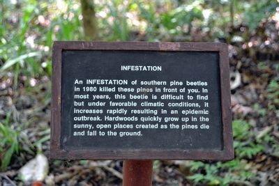
20. Infestation Interpretive Sign
An infestation of southern pine beetles in 1980 killed those pines in front of you. In most years, this beetle is difficult to find but under favorable climatic conditions, it increases rapidly resulting in a epidemic outbreak. Hardwoods quickly grow up in the sunny, open spaces created as the pines die and fall to the ground.
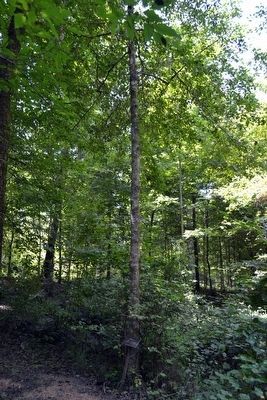
American Holly Tree image. Click for full size.
Photographed By Duane Hall, August 4, 2015
21. American Holly Tree
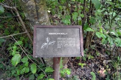
American Holly Interpretive Sign image. Click for full size.
Photographed By Duane Hall, August 4, 2015
22. American Holly Interpretive Sign
American holly is a common understory tree in a mature Southern hardwood forest. Unfortunately this tree, especially the fruitbearing female holly, is rapidly disappearing because of man’s Christmas holly market.
Decaying Pine Tree image. Click for full size.
Photographed By Duane Hall, August 4, 2015
23. Decaying Pine Tree
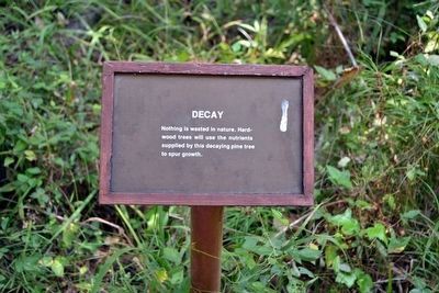
Decay Interpretive Sign image. Click for full size.
Photographed By Duane Hall, August 4, 2015
24. Decay Interpretive Sign
Nothing is wasted in nature. Hardwood trees will use the nutrients supplied by this decaying pine tree to spur growth.
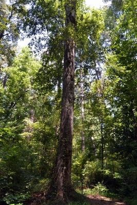
Large Tree along Trail image. Click for full size.
Photographed By Duane Hall, August 4, 2015
25. Large Tree along Trail
Tree Size and Age Interpretive Sign image. Click for full size.
Photographed By Duane Hall, August 4, 2015
26. Tree Size and Age Interpretive Sign
A tree may grow six inches in width in a single year under favorable conditions but may not grow one inch in 50 years under unfavorable conditions. Consequently, trunk size is an unreliable indicator of the age of a tree.
Area near Yellow Poplar Interpretive Sign image. Click for full size.
Photographed By Duane Hall, August 4, 2015
27. Area near Yellow Poplar Interpretive Sign
Yellow Poplar Interpretive Sign image. Click for full size.
Photographed By Duane Hall, August 4, 2015
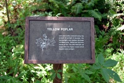
28. Yellow Poplar Interpretive Sign
Leaf size is often determined by the amount of sunlight it receives - the less sunlight a leaf receives, the larger it is likely to be. Notice how the lower leaves of this yellow poplar are larger than the higher leaves which receive more sunlight.
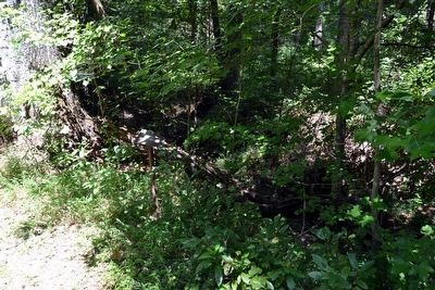
Loess Soil image. Click for full size.
Photographed By Duane Hall, August 4, 2015
29. Loess Soil
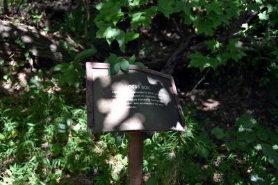
Loess Soil Interpretive Sign image. Click for full size.
Photographed By Duane Hall, August 4, 2015
30. Loess Soil Interpretive Sign
Loess, a soil deposited by wind, erodes easily when stripped of vegetation. This gully was probably started by lumbermen cutting timber and accelerated by poor farming methods.
Former Farmland image. Click for full size.
Photographed By Duane Hall, August 4, 2015
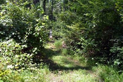
31. Former Farmland
Farmland Interpretive Sign image. Click for full size.
Photographed By Duane Hall, August 4, 2015
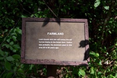
32. Farmland Interpretive Sign
Look closely and you will notice the old furrow marks in the forest floor. Cotton was probably the dominant plant in this area 50 to 60 years ago.
American Beech Tree image. Click for full size.
Photographed By Duane Hall, August 4, 2015
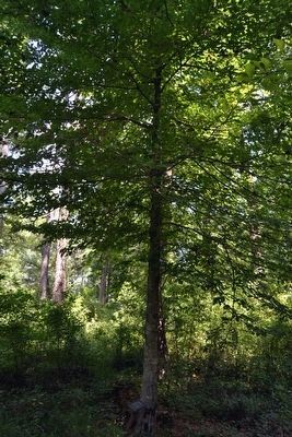
33. American Beech Tree
American Beech Interpretive Sign image. Click for full size.
Photographed By Duane Hall, August 4, 2015
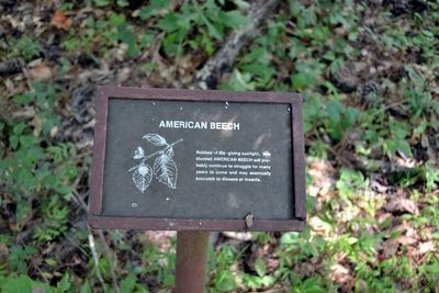
34. American Beech Interpretive Sign
Robbed of life-giving sunlight, this stunted american beech will probably continue to struggle for many years to come and may eventually succumb to disease or insects.
The End of the Bullen Creek Nature Trail image. Click for full size.
Photographed By Duane Hall, August 4, 2015
35. The End of the Bullen Creek Nature Trail
Forest Succession Interpretive Sign image. Click for full size.
Photographed By Duane Hall, August 4, 2015
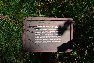
36. Forest Succession Interpretive Sign
From a magnificent hardwood forest to a clearcut area, from a clearcut area to farmland, from farmland to a pine forest, and now from a pine forest to a hardwood forest, a natural cycle is about to be completed. If man or disaster does not intervene again, within 80 years, this forest will become much like the primeval forest the pioneers found.
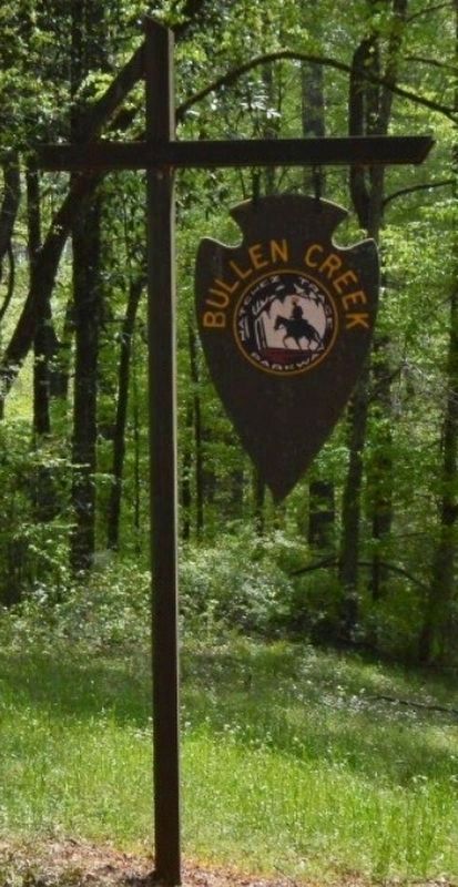
Bullen Creek sign image. Click for full size.
May 11, 2022
37. Bullen Creek sign
 
 
Credits. This page was last revised on May 12, 2022. It was originally submitted on August 16, 2015, by Duane Hall of Abilene, Texas. This page has been viewed 692 times since then and 323 times this year. Photos:   1, 2, 3, 4. submitted on August 16, 2015, by Duane Hall of Abilene, Texas.   5, 6, 7, 8. submitted on October 19, 2015, by Duane Hall of Abilene, Texas.   9. submitted on August 16, 2015, by Duane Hall of Abilene, Texas.   10, 11, 12, 13, 14, 15, 16, 17, 18, 19, 20, 21, 22, 23, 24, 25, 26, 27, 28, 29, 30, 31, 32, 33, 34, 35, 36. submitted on October 19, 2015, by Duane Hall of Abilene, Texas.   37. submitted on May 11, 2022, by Angela Pearson of Spokane, Washington.

Share this page.  
Share on Tumblr
m=87285

CeraNet Cloud Computing sponsors the Historical Marker Database.
This website earns income from purchases you make after using our links to Amazon.com. We appreciate your support.
Paid Advertisement
Apr. 24, 2024