Gering in Scotts Bluff County, Nebraska — The American Midwest (Upper Plains)
The Way West
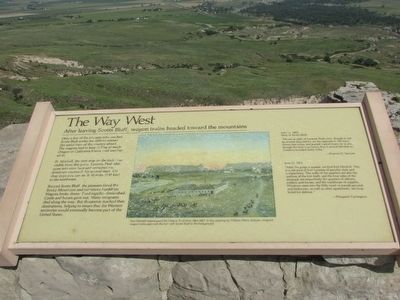
After leaving Scotts Bluff, wagon trains headed toward the mountains
Only a few of the pioneers who reached Scotts Bluff scaled the cliffs to witness this aerial view of the country ahead. The wagons had to keep rolling to reach Oregon or California before cold weather set in.
Ft. Mitchell, the next stop on the trail, was visible from this point. Laramie Peak also came into view here and remained the dominant landmark for several days. On clear days you can see it 90 miles (150 km) to the northwest.
Beyond Scotts Bluff, the pioneers faced the Rocky Mountains and continued hardships. Wagons broke down. Food supplies diminished. Cattle and horses gave out. Many emigrants died along the way. But thousands reached their destinations, helping to insure that the Western territories would eventually become part of the United States.
June 11, 1852
West of Scotts Bluff
“We are in sight of Laramie Peak now, though it will be several days before we are opposite it. We have driven fast today and passed a great many ox teams, though the dust is so heavy that it almost blinded us. Distance traveled thirty miles.”
June 11, 1846
“After the gorge is passed, we find Fort Mitchell. This is a sub-post of Fort Laramie of peculiar style and compactness. The walls of the quarters are also the outlines of the fort itself, and the four sides of the rectangle are respectively the quarters of the officers, soldiers, and horses, and the warehouse of supplies. Windows open into the little court or parade-ground; and bedrooms, as well as other apartments, are loop-holed for defense.”
Erected by National Park Service.
Topics. This historical marker is listed in these topic lists: Roads & Vehicles • Settlements & Settlers. A significant historical month for this entry is June 1777.
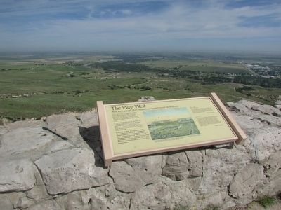
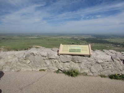
Location. 41° 50.397′ N, 103° 41.942′ W. Marker is in Gering, Nebraska, in Scotts Bluff County. Marker can be reached from Old Oregon Trail, on the right when traveling west. Marker is located in Scotts Bluff National Monument, along the North Overlook Trail at the summit of the bluff. Touch for map. Marker is in this post office area: Gering NE 69341, United States of America. Touch for directions.
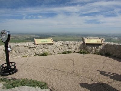
Other nearby markers. At least 8 other markers are within walking distance of this marker. The River Route (here, next to this marker); Scott Memorial (about 600 feet away, measured in a direct line); Eroding Landmark (about 700 feet away); Saddle Rock Trail (about 800 feet away); A Landmark for the Ages (approx. 0.2 miles away); Remnant Highlands (approx. 0.3 miles away); A Landscape Changed Forever (approx. 0.4 miles away); Before the Wagons (approx. 0.4 miles away). Touch for a list and map of all markers in Gering.
More about this marker. A William Henry Jackson painting of Fort Mitchell appears at the center of the marker. It has a caption of “Fort Mitchell helped guard the Oregon Trail from 1864-1867. In this painting by William Henry Jackson, emigrant wagon trains approach the fort with Scotts Bluff in the background.”
Credits. This page was last revised on June 16, 2016. It was originally submitted on August 17, 2015, by Bill Coughlin of Woodland Park, New Jersey. This page has been viewed 333 times since then and 4 times this year. Photos: 1, 2, 3, 4. submitted on August 17, 2015, by Bill Coughlin of Woodland Park, New Jersey.


