Near High Rock, East Grand Bahama, The Bahamas — North Atlantic (Lucayan Archipelago of the West Indies)
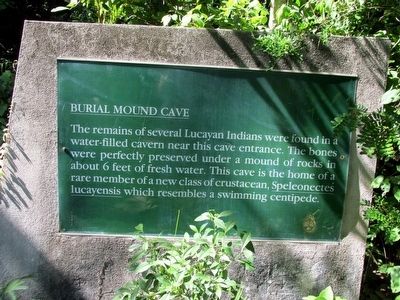
Burial Mound Cave
Topics. This historical marker is listed in this topic list: Native Americans.
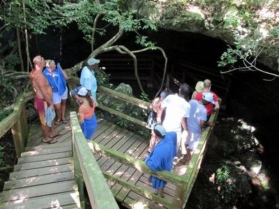
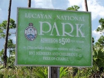
Location. 26° 36.358′ N, 78° 24.145′ W. Marker is near High Rock, East Grand Bahama. Marker can be reached from Grand Bahama Highway. Marker is on walking trail in the Lucayan Nation Park, north-side of Grand Bahamas Highway. Touch for map. Touch for directions.
Other nearby markers. At least 5 other markers are within 19 kilometers of this marker, measured as the crow flies. Ben's Cave (a few steps from this marker); Wallace and Georgette Groves (approx. 17.9 kilometers away in Freeport); Welcome to the Labyrinth (approx. 18 kilometers away in Freeport); Hurricane Dorian Memorial (approx. 18 kilometers away in Freeport); Sir Winston Leonard Spencer Churchill (approx. 18.2 kilometers away in Freeport).
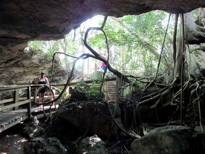
Also see . . . Bahamas National Trust's page for Lucayan National Park. Lucayan remains: In 1986 archaeologists discovered four skeletons of the indigenous Lucayans on the floor of one cave as well as artifacts in other areas of the Park – evidence of pre-Columbian settlement on Grand Bahama. The Lucayan National Park is named after these original inhabitants of The Bahamas. The Lucayans used the caves as a source of fresh water and as ceremonial burial places. Due to the low oxygen level found in caves, archeological remains are well preserved and have been found in some cave sites, including Burial Mound. The freshwater reservoirs found in the caves and blue holes are still highly important for island residents today. (Submitted on August 20, 2015.)
Credits. This page was last revised on October 19, 2023. It was originally submitted on August 19, 2015, by Richard Denney of Austin, Texas. This page has been viewed 2,239 times since then and 102 times this year. Photos: 1, 2, 3, 4. submitted on August 19, 2015, by Richard Denney of Austin, Texas. • Andrew Ruppenstein was the editor who published this page.


