Albany in Livingston Parish, Louisiana — The American South (West South Central)
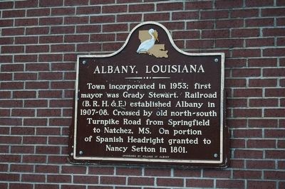
Albany, Louisiana
Erected by Village of Albany.
Topics. This historical marker is listed in this topic list: Settlements & Settlers. A significant historical year for this entry is 1953.
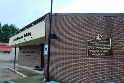
Location. 30° 30.081′ N, 90° 34.962′ W. Marker is in Albany, Louisiana, in Livingston Parish. Marker is at the intersection of South Montpelier Road (State Highway 43) and West Murray Street, on the left when traveling south on South Montpelier Road. Mounted on the new Albany Municipal Building. Touch for map. Marker is at or near this postal address: 29816 South Montpelier, Albany LA 70711, United States of America. Touch for directions.
Other nearby markers. At least 8 other markers are within 7 miles of this marker, measured as the crow flies. Hungarian Settlement (approx. 1˝ miles away); Haynes Settlement (approx. 4 miles away); The Republic of West Florida (approx. 4.7 miles away); Springfield Cemetery Cannon (approx. 5.2 miles away); Springfield's Role in West Florida Revolution (approx. 5.3 miles away); Springfield (approx. 5.4 miles away); Carter Plantation (approx. 5.9 miles away); Friendship Circle (approx. 6.9 miles away).
Credits. This page was last revised on June 2, 2023. It was originally submitted on August 23, 2015. This page has been viewed 540 times since then and 23 times this year. Photos: 1, 2. submitted on August 23, 2015. • Bernard Fisher was the editor who published this page.

