Chester in Chesterfield County, Virginia — The American South (Mid-Atlantic)
Chief Opechancanouch
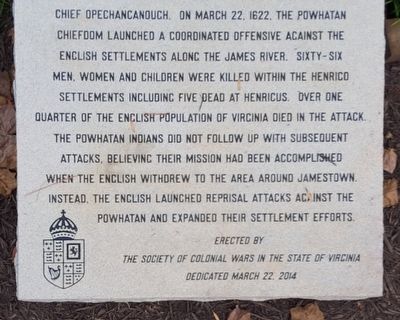
On March 22, 1622, the Powhatan chiefdom launched a coordinated offensive against the English settlements along the James River. Sixty-six men, women and children were killed within the Henrico settlements including five dead at Henricus. Over one quarter of the English population of Virginia died in the attack. The Powhatan Indians did not follow up with subsequent attacks, believing their mission had been accomplished when the English withdrew to the area around Jamestown. Instead, the English launched reprisal attacks against the Powhatan and expanded their settlement efforts.
Erected 2014 by The Society of Colonial Wars in the State of Virginia.
Topics. This historical marker is listed in these topic lists: Colonial Era • Native Americans • Settlements & Settlers. A significant historical month for this entry is March 1814.
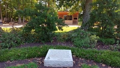
Location. 37° 22.454′ N, 77° 21.734′ W. Marker is in Chester, Virginia, in Chesterfield County. Marker can be reached from Henricus Park Road, 1.3 miles east of Coxendale Road. The marker is located in Henricus Historical Park east of the parking lot. Touch for map. Marker is at or near this postal address: 251 Henricus Park Road, Chester VA 23836, United States of America. Touch for directions.
Other nearby markers. At least 8 other markers are within walking distance of this marker. The Bermuda Hundred Campaign (a few steps from this marker); a different marker also named The Bermuda Hundred Campaign (a few steps from this marker); Citie of Henricus (a few steps from this marker); a different marker also named The Bermuda Hundred Campaign (a few steps from this marker); John N. Pastore, D.D.S. (within shouting distance of this marker); Farrar's Island (about 300 feet away, measured in a direct line); Henricopolis (approx. 0.2 miles away); Mount Malady (approx. 0.2 miles away). Touch for a list and map of all markers in Chester.
Also see . . . Henricus Historical Park. (Submitted on August 23, 2015.)
Credits. This page was last revised on June 16, 2016. It was originally submitted on August 23, 2015, by Bernard Fisher of Richmond, Virginia. This page has been viewed 433 times since then and 21 times this year. Photos: 1, 2. submitted on August 23, 2015, by Bernard Fisher of Richmond, Virginia.

