New Windsor in Orange County, New York — The American Northeast (Mid-Atlantic)
The Land
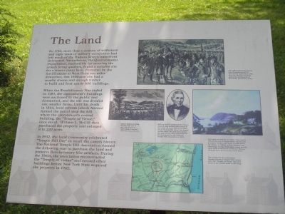
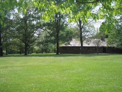
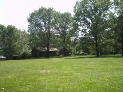
By 1782, more than a century of settlement and eight years of military occupation had left much of the Hudson River’s waterfront deforested. Nevertheless, the Quartermaster Department, responsible for securing the army’s living quarters, found a suitable site for a winter camp here. Protected by the fortifications at West Point ten miles downriver, this 1600-acre site had a nearby stream and enough timber to build and heat nearly 600 buildings.
When the Revolutionary War ended in 1783, the cantonment’s buildings were auctioned to the public and dismantled, and the site was divided into smaller farms. Until his death in 1844, local veteran Jabesh Atwood farmed the parcel atop the hill where the cantonment’s central building, the “Temple of Virtue,” once stood. William L. McGill then purchased the property and enlarged it to 220 acres.
In 1932, the local community celebrated “Temple Hill Day” to recall the camp’s history. The National Temple Hill Association formed the following year to purchase the land and preserve Revolutionary War artifacts. During the 1960s, the association reconstructed the “Temple of Virtue” and erected other buildings before New York State acquired the property in 1967.
Erected by State of New York.
Topics. This historical marker is listed in these topic lists: Military • Notable Places • War, US Revolutionary. A significant historical year for this entry is 1782.
Location. 41° 28.394′ N, 74° 3.534′ W. Marker is in New Windsor, New York, in Orange County. Marker can be reached from Temple Hill Road (New York State Route 300), on the right when traveling north. Marker is located at the New Windsor Cantonment State Historic Site. Touch for map. Marker is in this post office area: New Windsor NY 12553, United States of America. Touch for directions.
Other nearby markers. At least 8 other markers are within walking distance of this marker. "The Publick Building Called the Temple" (about 300 feet away, measured in a direct line); The Temple (about 300 feet away); The People of the New Windsor Cantonment (about 400 feet away); Unknown Soldier (about 400 feet away); Revolutionary Hut (about 500 feet away); New Windsor Cantonment (about 500 feet away); Temple Hill (about 600 feet away); Purple Heart Memorial (about 700 feet away). Touch for a list and map of all markers in New Windsor.
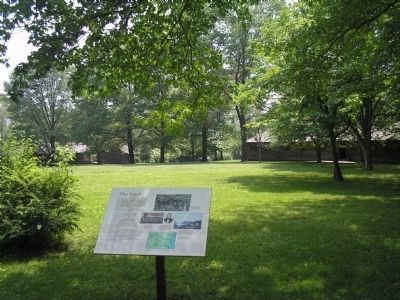
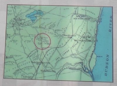
More about this marker. Several pictures appear on the marker. On the top is a picture of soldiers in camp with the caption “This 1883 illustration depicts how the landscape of the cantonment appeared in 1783. Note the ‘Temple’ building against the background of mountains toward the center.” In another picture, “Author Benson Lossing sketched the site of the cantonment in 1852 when it was still relatively clear of trees.” A picture of William McGill also appears on the marker. He “purchased the 90-acre Atwood farm in 1845 and farmed it for nearly 40 years. The stone walls of his “Temple Hill Farms” are clearly visible today. The land then passed through several other owners before it was acquired by the National Temple Hill Association in 1933.” A painting of Washington’s Newburgh Headquarters by John Ludlow Morton is on the marker too. It has the caption “This area was familiar to many of the army’s officers because a supply center was located at nearby Fishkill, and many of them spent the winter of 1780-81 in New Windsor and Newburgh. George Washington stayed several miles away at the house of Thomas Ellison, pictured here.” Finally, the lower right of the marker contains a map of the area with the caption “The setting for the cantonment became known as ‘Temple of Virtue’ that once stood at the central point in the camp.”
Also see . . . New Windsor Cantonment State Historic Site. New York State Parks, Recreation and Historic Preservation website entry (Submitted on July 3, 2008, by Bill Coughlin of Woodland Park, New Jersey.)
Credits. This page was last revised on August 9, 2021. It was originally submitted on July 3, 2008, by Bill Coughlin of Woodland Park, New Jersey. This page has been viewed 1,130 times since then and 15 times this year. Photos: 1, 2, 3, 4, 5, 6, 7. submitted on July 3, 2008, by Bill Coughlin of Woodland Park, New Jersey.
