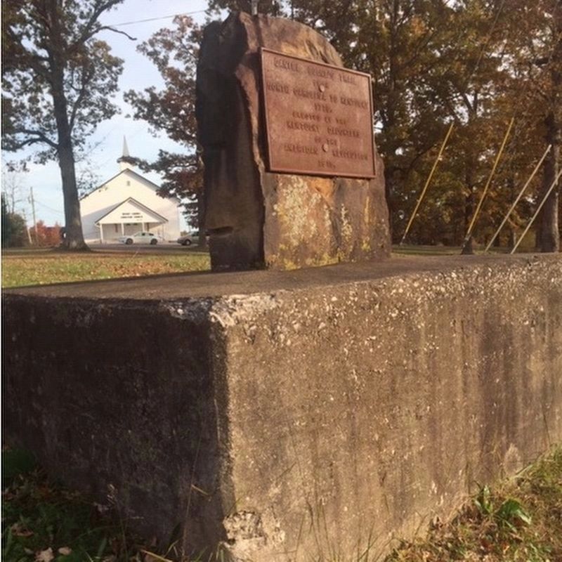
Near East Bernstadt in Laurel County, Kentucky — The American South (East South Central)
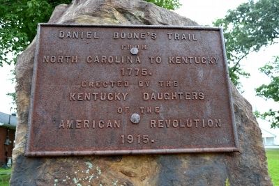
Daniel Boone's Trail
from
North Carolina to Kentucky
1775.
Erected 1915 by Kentucky Daughters of the American Revolution.
Topics and series. This historical marker is listed in these topic lists: Colonial Era • Exploration • Roads & Vehicles • Settlements & Settlers. In addition, it is included in the Daughters of the American Revolution series list. A significant historical year for this entry is 1775.
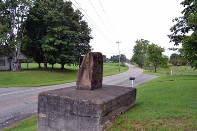
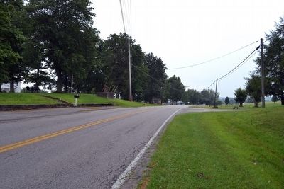
Location. 37° 14.421′ N, 84° 5.85′ W. Marker is near East Bernstadt, Kentucky, in Laurel County. Marker is on State Highway 490, ¾ mile north of Patton Road, on the right when traveling north. Touch for map. Marker is in this post office area: East Bernstadt KY 40729, United States of America. Touch for directions.
Other nearby markers. At least 8 other markers are within 6 miles of this marker, measured as the crow flies. Hazel Patch (approx. ¾ mile away); Pittsburg and Wilderness Road (approx. 5.4 miles away); Camp Wildcat (approx. 5½ miles away); Camp Wildcat and the Wilderness Road (approx. 5.7 miles away); Camp Wildcat / Union Civil War Camp (approx. 5.7 miles away); a different marker also named Camp Wildcat and the Wilderness Road (approx. 5.8 miles away); Battle of Camp Wildcat (approx. 5.9 miles away); a different marker also named Battle of Camp Wildcat (approx. 5.9 miles away). Touch for a list and map of all markers in East Bernstadt.
Also see . . . Friends of Boone Trace - Keepers of "That Little Road". (Submitted on August 24, 2015.)
Additional commentary.
1. Original Location of Marker
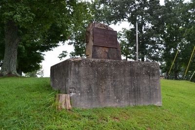
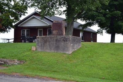
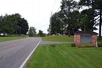
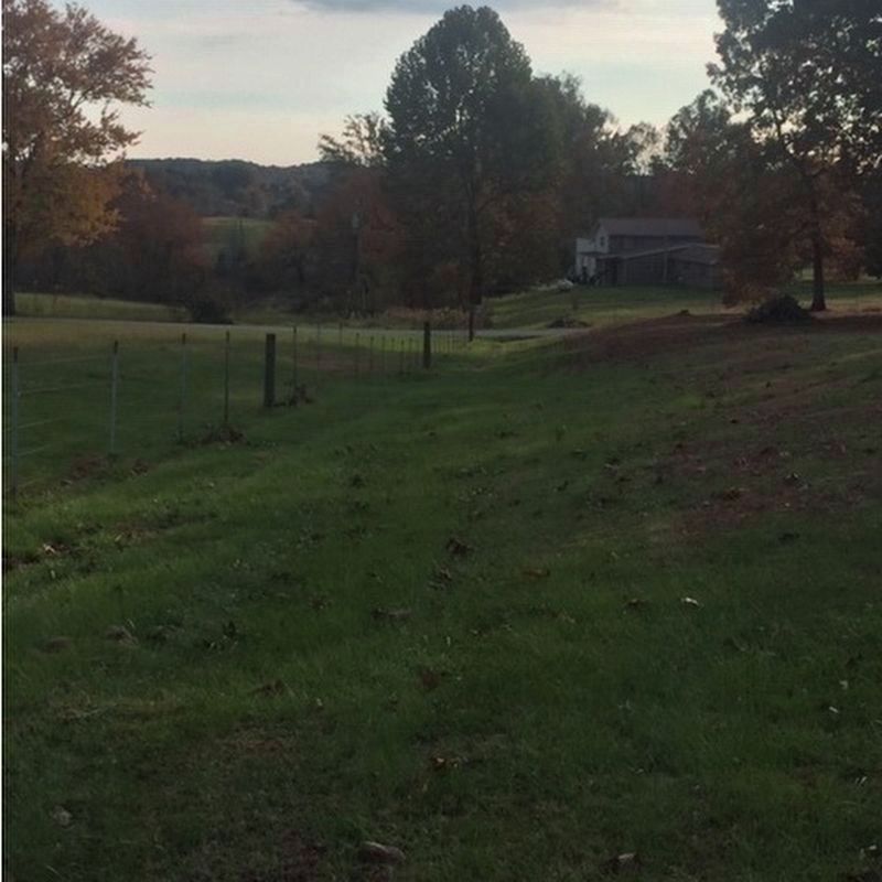
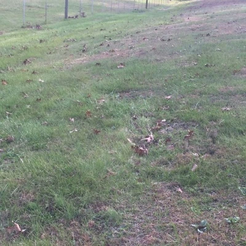
According to the Friends of Boone Trace, the marker is one of 14 markers placed by the Daughters of the American Revolution in 1915 to mark the route of Boone Trace and to commemorate the exploration of Daniel Boone and his fellow trailblazers in 1775. The marker was originally located to the east behind Mt. Carmel Christian Church where the previous Highway 25 was located. When Highway 490 was built, the marker was moved to the front of the church. Remnants of the old highway, and likely the actual Boone Trace, can still be seen behind the church.
— Submitted August 24, 2015, by Duane Hall of Abilene, Texas.
Credits. This page was last revised on November 2, 2018. It was originally submitted on August 24, 2015, by Duane Hall of Abilene, Texas. This page has been viewed 595 times since then and 31 times this year. Photos: 1, 2, 3, 4, 5, 6. submitted on August 24, 2015, by Duane Hall of Abilene, Texas. 7, 8, 9. submitted on October 31, 2018, by Gary R. Yaden of London, Kentucky.
