Boulder in Boulder County, Colorado — The American Mountains (Southwest)
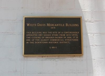
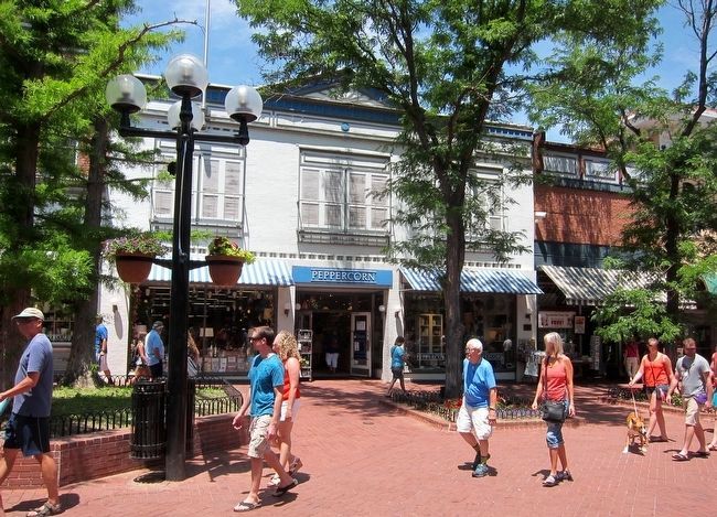
White-Davis Mercantile Building
1874
Topics. This historical marker is listed in this topic list: Industry & Commerce. A significant historical year for this entry is 1874.
Location. 40° 1.089′ N, 105° 16.756′ W. Marker is in Boulder, Colorado, in Boulder County. Marker is on Pearl Street west of 13th Street, on the left when traveling east. Touch for map. Marker is at or near this postal address: 1235 Pearl Street, Boulder CO 80302, United States of America. Touch for directions.
Other nearby markers. At least 8 other markers are within 10 miles of this marker, measured as the crow flies. Boulder County Courthouse Fountain (about 300 feet away, measured in a direct line); The Gettysburg Address (about 400 feet away); At the Foot of The Slabs (approx. 1.4 miles away); The Holiday Drive-In Marquee 1953 (approx. 3 miles away); The Denver-Boulder Turnpike (approx. 6 miles away); Welcome to the Crags Hotel (approx. 6.4 miles away); Mary Miller Historical Mural (approx. 9.6 miles away); Peltier House (approx. 10.1 miles away). Touch for a list and map of all markers in Boulder.
Credits. This page was last revised on June 16, 2016. It was originally submitted on August 25, 2015, by Andrew Ruppenstein of Lamorinda, California. This page has been viewed 540 times since then and 20 times this year. Photos: 1, 2. submitted on August 27, 2015, by Andrew Ruppenstein of Lamorinda, California.

