Near Canby in Modoc County, California — The American West (Pacific Coastal)
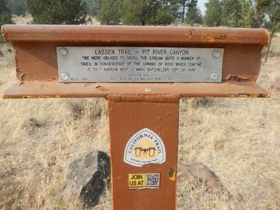
Lassen Trail - Pit River Canyon
Guidebook available
Trails West Inc., P.O. Box 12045, Reno, NV 89510
Erected 1997. (Marker Number L-11.)
Topics and series. This historical marker is listed in these topic lists: Roads & Vehicles • Settlements & Settlers. In addition, it is included in the California Trail, the Lassen Trail and Burnett Cutoff, and the Trails West Inc. series lists. A significant historical date for this entry is September 29, 1849.
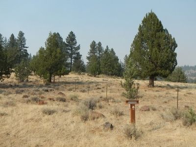
Location. 41° 25.207′ N, 121° 0.294′ W. Marker is near Canby, California, in Modoc County. Marker is on Pit River Road (County Route 84) near Turner Creek Road, on the right when traveling west. Touch for map. Marker is in this post office area: Canby CA 96015, United States of America. Touch for directions.
Other nearby markers. At least 3 other markers are within 11 miles of this marker, measured as the crow flies. Lassen Trail - Foot Wear (approx. 3.9 miles away); Lassen Trail - Pit River (approx. 7.1 miles away); Evans and Bailey Fight 1861 (approx. 10.6 miles away).
More about this marker. This marker is in the proximity of California Historical Landmark 111, for which there is no marker.
Regarding Lassen Trail - Pit River Canyon. California Historical Landmark 111, Old Emigrant Trail:
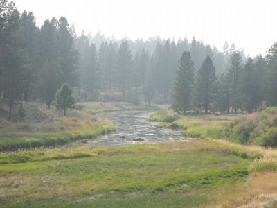
"Near the present Pit River-Happy Camp road this old pioneer trail, part of the earliest roads in northeastern California, is yet easily traced. Trees eight to ten inches in diameter are growing in the old road bed."
Credits. This page was last revised on February 3, 2018. It was originally submitted on August 29, 2015, by Barry Swackhamer of Brentwood, California. This page has been viewed 402 times since then and 23 times this year. Last updated on February 3, 2018, by Douglass Halvorsen of Klamath Falls, Oregon. Photos: 1, 2, 3. submitted on August 29, 2015, by Barry Swackhamer of Brentwood, California.


