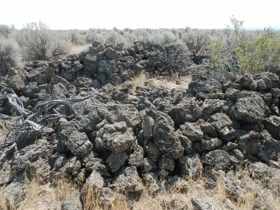
Near Tule Lake in Siskiyou County, California — The American West (Pacific Coastal)
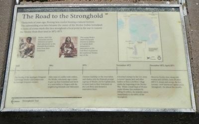
The Road to the Stronghold
Photographed By Barry Swackhamer, August 20, 2015
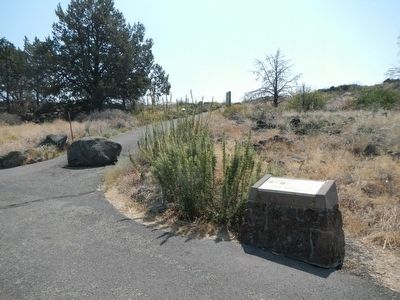
1. The Road to the Stronghold Marker
Captions: (left) Modoc chief Old Schonchin and his followers accepted their placement on the Klamath Reservation, away from their homeland.; (center) The young Modoc leader Kintpuash (known to settlers as Captain Jack) demanded a reservation on the Lost River to preserve the traditional Modoc way of life.; (right) Map of the Modoc homeland.
Time line, left to right:
1846 - The blazing of the Applegate Emigrant Trail brings Modoc and settlers into increasingly frequent contact.
1864 - After years of conflict with settlers, the Modoc reluctantly sign a treaty to give up their homeland and move to a reservation in Oregon with neighboring Klamath and Yahooskin.
1870 - Extreme hardship on the reservation and clashes with the Klamath prompt a group of Modoc, led by Captain Jack, to move back to their homeland on the Lost River and demand a reservation there.
November 1872 - A botched attempt by the U.S. Army to arrest Captain Jack and other leaders at their Lost River village marks the beginning of the Modoc War. While a small band of Modoc under Hooker Jim retaliates by killing 14 settlers, the majority canoe immediately to the safety of the Stronghold.
December 1872-April 1973 - About 63 Modoc men, along with women and children, hold off some 600 U.S. troops and occupy the lava fortress - now known as Captain Jack's Stronghold - for almost five months.
Erected by National Park Service, U.S. Department of the Interior.
Topics. This historical marker is listed in these topic lists: Native Americans • Wars, US Indian. A significant historical month for this entry is November 1873.
Location. 41° 49.481′ N, 121° 30.042′ W. Marker is near Tule Lake, California, in Siskiyou County. Marker is on County Route 120 near Hill Road (County Route 10), on the left when traveling west. Touch for map. Marker is in this post office area: Tulelake CA 96134, United States of America. Touch for directions.
Other nearby markers. At least 8 other markers are within 3 miles of this marker, measured as the crow flies. Lava Fortress (a few steps from this marker); Shore of Tule Lake (a few steps from this marker); Attack at Hospital Rock (approx. 1.6 miles away); Last Meeting of the Peace Commission (approx. 2.2 miles away); Canby Cross (approx. 2.3 miles away); Attracted to Water (approx. 2.8 miles away); War in the Lava Beds (approx. 2.9 miles away); Modoc War Casualties (approx. 2.9 miles away). Touch for a list and map of all markers in Tule Lake.
More about this marker. This marker is located at the trailhead to Captain Jack's Stronghold.
Additional keywords. Modoc War
Photographed By Barry Swackhamer, August 20, 2015
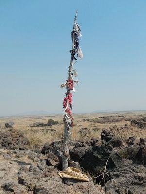
6. Medicine Flag
"The principal Modoc shaman, Curley Headed Doctor, also braided rope made of tules, dyed it red, and placed it around the defensive positions. The Modocs believed that the soldiers could not pass the rope and that the medicine flag rendered the soldier's bullets harmless. Throughout the first battle the charms seemed to support the claims, for the soldiers retreated and no Modoc was killed, but in the second battle a Modoc was killed when he picked up a mortar ball that exploded in his face." - Captain Jack's Stronghold trail guide
Photographed By Douglass Halvorsen, October 6, 2012
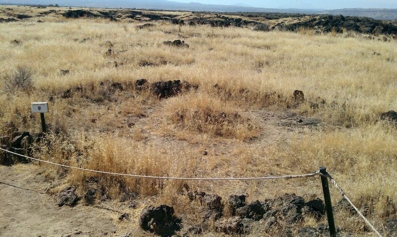
8. War Dance Circle
This site is very sacred to the Modoc Tribe and even today, they will occasionally use this historic location for dances and tributes to their people. During the last stand here in the Stronghold, Captain Jack and his followers used this War Dance Circle during the evenings as potential intimidation to the U.S. Army troops camped outside and would definitely have heard the war cries from the Modocs preparing for the next day's battle.
Photographed By Douglass Halvorsen, October 6, 2012
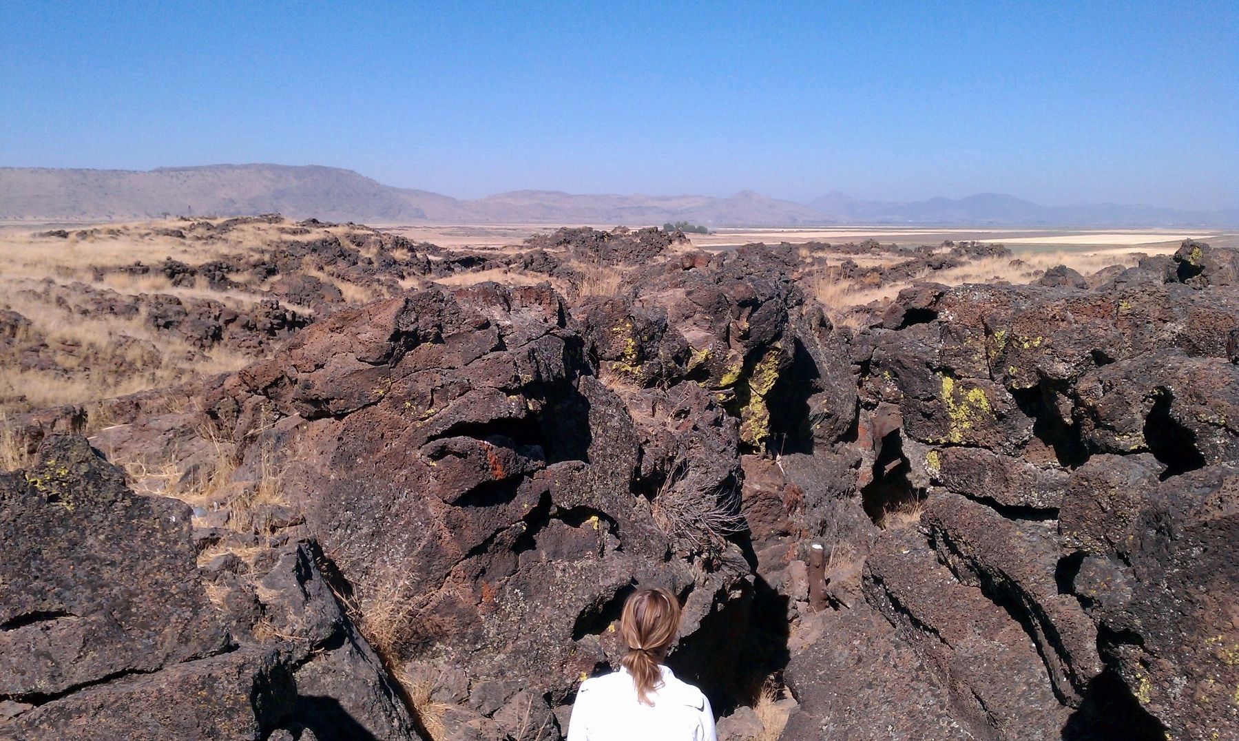
9. View of Captain Jack's Stronghold
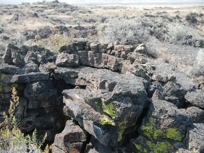
This view of the Stronghold illustrates just how barren and rough the terrain here was during the Modoc War. In the far distance where you see crop lands would have been filled by Tule Lake, its water's edges once reached right up to the edge of the Stronghold. The National Reclamation Act of 1902 was the beginning of major changes in the landscape and the receding of lake levels in order for the region to be irrigated and converted into homesteads and agricultural use. Tule Lake is now one-quarter the size it once was.
Credits. This page was last revised on February 6, 2018. It was originally submitted on August 30, 2015, by Barry Swackhamer of Brentwood, California. This page has been viewed 495 times since then and 22 times this year. Photos: 1, 2, 3, 4, 5, 6, 7. submitted on August 30, 2015, by Barry Swackhamer of Brentwood, California. 8, 9. submitted on January 27, 2018, by Douglass Halvorsen of Klamath Falls, Oregon.
