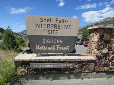
Shell in Big Horn County, Wyoming — The American West (Mountains)
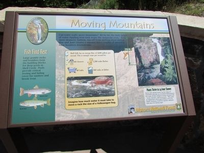
Moving Mountains
Can water really move mountains? Bit by bit, grind of water rippling over rock wears the mountain away. In a more dramatic fashion, run-off from melting snow during May and June creates a massive force capable of muscling huge boulders downstream.
Fish Find Rest
Plants Thrive in 24-hour Shower
< Sidebar :>
Shell Falls has an average flow of 3,600 gallons per second. This is enough water per second for:
144 showers; 1,200 toilet flushes; 48 baths; 360 sinks of dishes.
Imagine how much water it must take to move a rock the size of a Volkswagon bug.
Erected by Bighorn National Forest.
Topics. This historical marker is listed in this topic list: Natural Features.
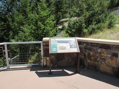
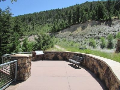
Location. 44° 35.184′ N, 107° 36.882′ W. Marker is in Shell, Wyoming, in Big Horn County. Marker can be reached from U.S. 14, on the right when traveling west. Marker is located in the Shell Falls Interpretive Site in Bighorn National Forest. Touch for map. Marker is in this post office area: Shell WY 82441, United States of America. Touch for directions.
Other nearby markers. At least 8 other markers are within walking distance of this marker. Hummingbirds (within shouting distance of this marker); Carving a Course (within shouting distance of this marker); Lifeblood of the West (within shouting distance of this marker); Oasis in the Desert (within shouting distance of this marker); A 4,000 Mile Journey (within shouting distance of this marker); Forming Waterfalls (within shouting distance of this marker); Shaping a Canyon (within shouting distance of this marker); Wringing Out a Livelihood (about 400 feet away, measured in a direct line). Touch for a list and map of all markers in Shell.
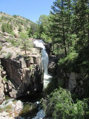
More about this marker. A photograph of the 75 foot high Shell Falls appears on the left side of the marker.
Credits. This page was last revised on June 16, 2016. It was originally submitted on September 4, 2015, by Bill Coughlin of Woodland Park, New Jersey. This page has been viewed 336 times since then and 14 times this year. Photos: 1, 2, 3, 4, 5. submitted on September 4, 2015, by Bill Coughlin of Woodland Park, New Jersey.
