Shell in Big Horn County, Wyoming — The American West (Mountains)
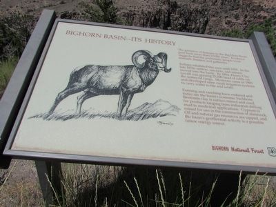
Bighorn Basin – Its History
The presence of humans in the Big Horn Basin goes back more than 10,000 years. Evidence suggests that the prehistoric people were nomadic hunters and gatherers.
Indians inhabited this area until 1878. In the late 1870s settlers, ranchers, and miners moved into the basin. By 1883, Henry Clay Lovell was grazing 25,000 head of cattle on the unfenced range. Mormons came in 1900 and developed open canal irrigation systems to carry water to the arid lands.
Farming and ranching have endured and today are the basin’s economic backbone. Bentonite clay is surface-mined and used for products ranging from industrial drilling mud to medicinal applications. Gypsum is mined for use in the construction of sheetrock. Oil and natural gas resources are tapped, and the basin’s geothermal activity is a possibly future energy source.
Erected by Bighorn National Forest.
Topics. This historical marker is listed in these topic lists: Industry & Commerce • Native Americans • Settlements & Settlers.
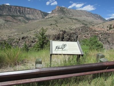
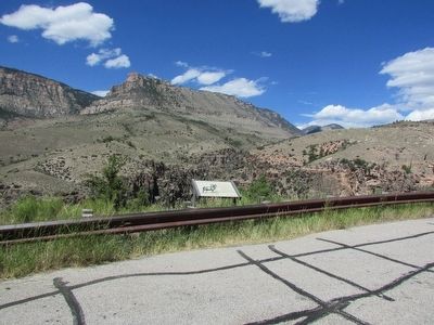
Location. 44° 35.323′ N, 107° 39.227′ W. Marker is in Shell, Wyoming, in Big Horn County. Marker is on U.S. 14, on the right. Marker is located in Bighorn National Forest. Touch for map. Marker is in this post office area: Shell WY 82441, United States of America. Touch for directions.
Other nearby markers. At least 8 other markers are within 2 miles of this marker, measured as the crow flies. Wildfire! (approx. half a mile away); Beef Trail (approx. 1.1 miles away); Copman's Tomb (approx. 1.1 miles away); Carving a Course (approx. 1.9 miles away); Lifeblood of the West (approx. 1.9 miles away); Oasis in the Desert (approx. 1.9 miles away); Hummingbirds (approx. 1.9 miles away); Shaping a Canyon (approx. 1.9 miles away). Touch for a list and map of all markers in Shell.
More about this marker. A picture of a bighorn ram appears on the left side of the marker.
Credits. This page was last revised on June 16, 2016. It was originally submitted on September 4, 2015, by Bill Coughlin of Woodland Park, New Jersey. This page has been viewed 473 times since then and 15 times this year. Photos: 1, 2, 3. submitted on September 4, 2015, by Bill Coughlin of Woodland Park, New Jersey.


