Fredericksburg, Virginia — The American South (Mid-Atlantic)
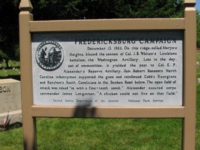
Fredericksburg Campaign
Erected by United States Department of the Interior - National Park Service.
Topics. This historical marker is listed in this topic list: War, US Civil. A significant historical date for this entry is December 13, 1827.
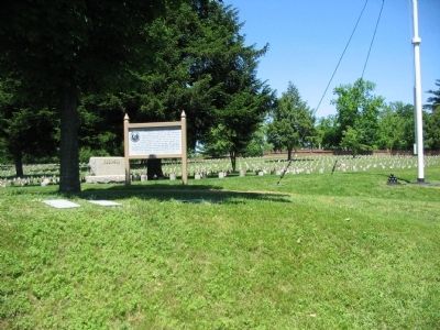
Location. Marker has been reported missing. It was located near 38° 17.578′ N, 77° 28.115′ W. Marker was in Fredericksburg, Virginia. Marker was on Sunken Road, 0.1 miles north of Lafayette Boulevard (Virginia Highway 1), on the right when traveling south. Located in the Fredericksburg National Cemetery, near the Fredericksburg battlefield visitor center. The Sunken Road is closed to vehicle traffic. Touch for map. Marker was in this post office area: Fredericksburg VA 22401, United States of America. Touch for directions.
Other nearby markers. At least 8 other markers are within walking distance of this location. Col. Joseph A. Moesch (within shouting distance of this marker); Andrew Atkinson Humphreys (within shouting distance of this marker); 127th Regiment Pennsylvania Volunteer Infantry (within shouting distance of this marker); The Fifth Corps, Army of the Potomac (within shouting distance of this marker); Fredericksburg National Cemetery (about 300 feet away, measured in a direct line); The Sunken Road (about 400 feet away); Willis Hill Cemetery (about 400 feet away); The Second Battle of Fredericksburg (about 400 feet away). Touch for a list and map of all markers in Fredericksburg.

Photographed By Craig Swain, May 25, 2008
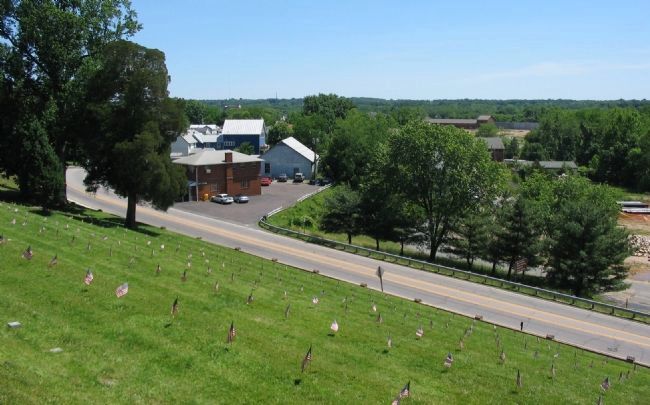
3. View from the Cemetery
Looking over Lafayette Boulevard from the Heights in the cemetery. The Washington Artillery's right most guns were placed near the point this photo was taken. Ransom's Brigade was also initially posted in this vicinity. The Federal infantry attacks occurred to the north of Lafayette Boulevard (to the left). However the view over that ground is blocked by modern structures.
Credits. This page was last revised on February 2, 2023. It was originally submitted on July 4, 2008, by Craig Swain of Leesburg, Virginia. This page has been viewed 1,223 times since then and 10 times this year. Last updated on November 23, 2017, by Shane Oliver of Richmond, Virginia. Photos: 1, 2, 3. submitted on July 4, 2008, by Craig Swain of Leesburg, Virginia. • Bill Pfingsten was the editor who published this page.

