Near Munfordville in Hart County, Kentucky — The American South (East South Central)
Battle of Munfordville: Siege
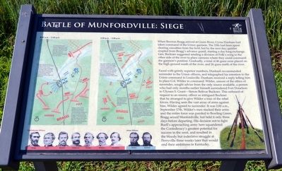
Faced with grimly superior numbers, Dunham recommended surrender to the Union officers, and telegraphed his intention to the Union command in Louisville. Dunham received a reply telling him to place Col. Wilder in command. Wilder, unsure of the ethics of surrender, sought advice from the only source available, a person who had only months earlier himself surrendered Fort Donelson to Ulysses S. Grant—Simon Bolivar Buckner. This unheard-of request to an enemy officer so intrigued Buckner that he arranged to give Wilder a tour of the rebel forces. Having seen the vast array of arms against him, Wilder agreed to surrender. It was 2:00 a.m., September 17th. Wilder’s men stacked their arms and the entire force was paroled to Bowling Green. Bragg seized Munfordville, but held it only three days before departing. His decision not to fight Buell’s approaching army here squandered the Confederacy’s greatest potential for success in the west, and resulted in the bloody but indecisive struggle at Perryville three weeks later that would end their ambitions in Kentucky.
Erected by Battle for the Bridge Historic Preserve.
Topics. This historical marker is listed in this topic list: War, US Civil. A significant historical date for this entry is September 15, 1862.
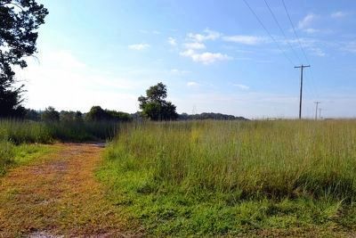
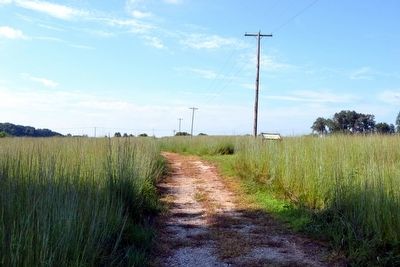
Location. 37° 15.43′ N, 85° 53.459′ W. Marker is near Munfordville, Kentucky, in Hart County. Marker can be reached from Charlie Dowling Road, 0.3 miles north of S. Dixie Highway (U.S. 31W). Marker is Stop #3 on the Battlefield Loop (Walking) Trail at the Battle for the Bridge Historic Preserve; the above directions are to the trailhead. Parking is available at the Anthony Woodson Farm of the Battle for the Bridge Historic Preserve, which is directly east of the trailhead, but is accessed from S. Dixie Highway (US 31W) 0.3 miles north of its intersection with Charlie Dowling Road. Touch for map. Marker is in this post office area: Munfordville KY 42765, United States of America. Touch for directions.
Other nearby markers. At least 8 other markers are within walking distance of this marker. Battle of Munfordville: Day 1 (about 500 feet away, measured in a direct line); L&N Railroad Bridge (about 600 feet away); Kentucky and the Western War (approx. 0.2 miles away); The Raider
(approx. 0.2 miles away); Anthony Woodson Farm (approx. 0.2 miles away); Fort Craig (approx. 0.2 miles away); The Woodson Farm (approx. 0.2 miles away); Col Robt A Smith Monument (approx. ¼ mile away). Touch for a list and map of all markers in Munfordville.
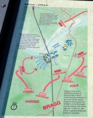
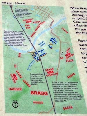
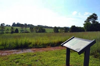
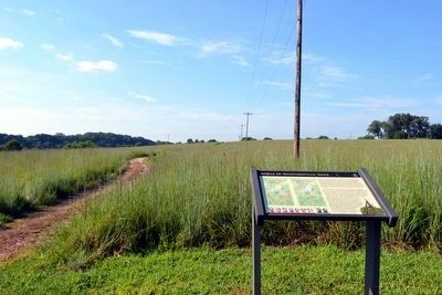
More about this marker. The marker includes two maps showing and describing troop positions and actions from 9:30 a.m. to 2:30 p.m. and from 2:30 p.m. to 5:30 p.m. The marker also includes images of Confederate officers Bragg, Polk, Buckner, Anderson, Hardee, Withers, and Cheatham and Union officers Wilder and Dunham.
Also see . . . Battle for the Bridge Historic Preserve. Official website for the preserve. (Submitted on September 8, 2015.)
Credits. This page was last revised on June 16, 2016. It was originally submitted on September 8, 2015, by Duane Hall of Abilene, Texas. This page has been viewed 643 times since then and 30 times this year. Photos: 1, 2, 3, 4, 5, 6, 7. submitted on September 8, 2015, by Duane Hall of Abilene, Texas.
