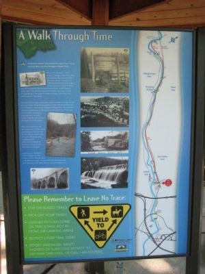
Near Avalon in Baltimore County, Maryland — The American Northeast (Mid-Atlantic)
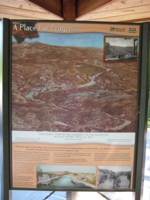
A Place For Progress
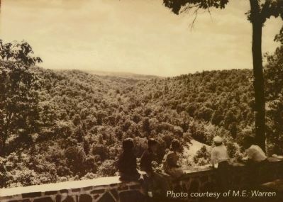
When European settlers discovered the Patapsco Valley, they found a source of untamed beauty rich in resources. Susquehannock and Pscataway Indians hunted and fished the valley full of elk, black bear, bison, gray wolves and deer. The white settlers also saw the valley's fertile and iron rich soil, fast-flowing streams, and deep shipping channels that led to Chesapeake Bay and beyond.
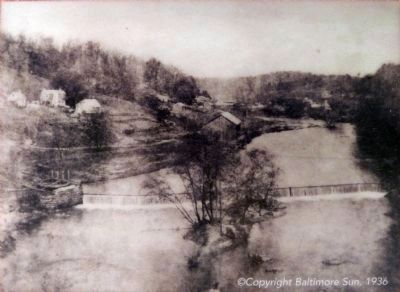
Here emerged Maryland's industrial revolution. Beginning in the lat 1700s, the valley erupted into activity with iron, paper, grist (flour) and textile mills. Entrepreneurs dammed the river and diverted its flow to water wheels that turned machinery - grinding wheat into flour and transforming cotton fibers into cloth.
The landscape changed; companies carved out factories and villages along the hollows and steep hillsides.
In the struggle for progress, entrepreneurs learned that unbridled use of natural resources came with consequences.
As trees were cut from the hillside, soil eroded into the river, clogging shipping channels and millraces. Chemicals and sewage tainted drinking water and poisoned wildlife.
Floods and fires persistently threatened the valley's factories. Soon, new technology freed their dependence on waterpower, allowing many to relocate upland.
People learned that progress meant conserving and restoring natural resources. This realization led to the establishment of the Patapsco Forest Reserve (now Patapsco Valley State Park), Maryland's first state park, in 1907. Today, the park manages its resources to benefit people, wildlife and the environment as the call of progress summons onward.
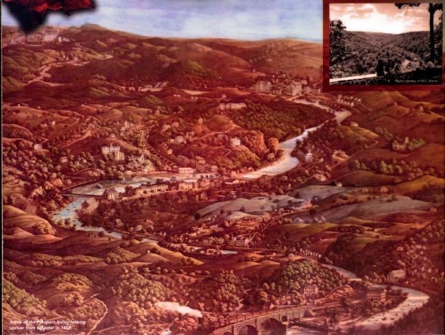
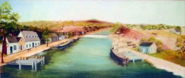
Text with main photo: Scene of the Patapsco Valley looking upriver from Ilchester in 1859. Photo courtesy of Howard County Historical Society
Title with main photo: Panoramic View of the Scenery on the Patapsco River for 7 miles - above and below. Ellicotts Mills, MD. River for 7 miles above and below. A reproduction of an original E. Sachse print, circa 1859, owned by the Howard County Historical Soceity, Inc. Reproduction by Geo. E. Van den Brink, 1978, by authority of the Howard County Historical Society, Incorporated.
Erected by Maryland Department of Natural Resources, Chesapeake Bay Gateways Network.
Topics. This historical marker is listed in these topic lists: Animals
• Environment • Industry & Commerce. A significant historical year for this entry is 1907.
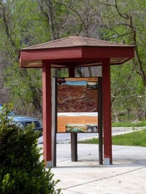
Location. 39° 13.686′ N, 76° 43.3′ W. Marker is near Avalon, Maryland, in Baltimore County. Marker can be reached from the intersection of Washington Boulevard (U.S. 1) and South Street. Marker is within the Patapsco Valley State Park - Avalon area, on the northern side of the Patapsco River, just under 1 mile from the park gate building, in Avalon Visitor Center parking lot. Entrance to PVSP is about 300 feet north of the US 1 - South Street intersection. Touch for map. Marker is in this post office area: Halethorpe MD 21227, United States of America. Touch for directions.
Other nearby markers. At least 8 other markers are within walking distance of this marker. Iron Builds America (here, next to this marker); Powering the Patapsco Valley's Industries (a few steps from this marker); Forging Freedom and Nails (about 300 feet away, measured in a direct line); Elkridge Landing (about 400 feet away); The C.C.C. Builds Our Park (about 400 feet away); Drinking Water for the Public (about 400 feet away); The Baltimore County Water and Electric Company (about 500 feet away); Patapsco Valley State Park (approx. 0.2 miles away). Touch for a list and map of all markers in Avalon.
Credits. This page was last revised on January 10, 2020. It was originally submitted on July 5, 2008, by F. Robby of Baltimore, Maryland. This page has been viewed 1,522 times since then and 18 times this year. Photos: 1, 2. submitted on July 5, 2008, by F. Robby of Baltimore, Maryland. 3, 4, 5, 6, 7. submitted on February 5, 2015, by Allen C. Browne of Silver Spring, Maryland.
