Georgetown in Scott County, Kentucky — The American South (East South Central)
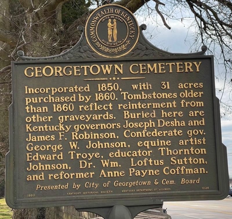
Georgetown Cemetery
Erected 1993 by Kentucky Historical Society, Kentucky Department of Highways. (Marker Number 1934.)
Topics and series. This historical marker is listed in this topic list: Cemeteries & Burial Sites. In addition, it is included in the Kentucky Historical Society series list. A significant historical year for this entry is 1850.
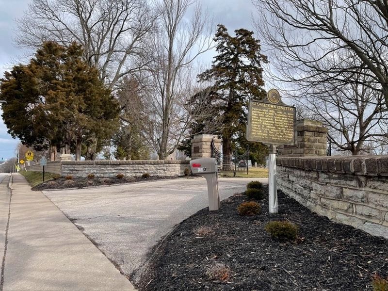
Location. 38° 11.853′ N, 84° 33.655′ W. Marker is in Georgetown, Kentucky, in Scott County. Marker is on South Broadway Street (U.S. 25) 0.3 miles north of Showalter Drive, on the right when traveling north. Touch for map. Marker is at or near this postal address: 710 South Broadway Street, Georgetown KY 40324, United States of America. Touch for directions.
Other nearby markers. At least 8 other markers are within walking distance of this marker. Georgetown Cemetery Confederate Monument (about 500 feet away, measured in a direct line); Garth School (approx. 0.6 miles away); Early Education in Georgetown (approx. ¾ mile away); Scott County Revolutionary War Memorial (approx. ¾ mile away); The Beginnings of George Town (approx. ¾ mile away); Royal Spring (approx. 0.9 miles away); Hambrick Village (approx. 0.9 miles away); Birthplace of Bourbon (approx. 0.9 miles away). Touch for a list and map of all markers in Georgetown.
Credits. This page was last revised on January 22, 2021. It was originally submitted on September 9, 2015, by Dave Knoch of Scott County, Kentucky. This page has been viewed 398 times since then and 28 times this year. Photos: 1, 2. submitted on January 19, 2021, by Frank Profitt of Georgetown, Kentucky. 3. submitted on September 9, 2015, by Dave Knoch of Scott County, Kentucky. • Bill Pfingsten was the editor who published this page.


