Near Blakely in Early County, Georgia — The American South (South Atlantic)
Kolomoki Mounds State Park 4 mi.
Memorializing Prehistoric Georgia Civilization
— More Than 700 Years Old —
A large Indian mound complex built about A.D. 200-600 is the centerpiece of Kolomoki Mounds State Park. The largest mound is 325 feet long, 200 feet wide and 57 feet high. This ceremonial area was at the eastern end of a large cleared ceremonial area with two mounds in the center axis and several more along the southern edge. One excavated mound is the primary exhibit of the Kolomoki Archaeological Museum.
Erected by Georgia Department of Natural Resources. (Marker Number 049-1.)
Topics and series. This historical marker is listed in this topic list: Native Americans. In addition, it is included in the Georgia Historical Society series list.
Location. 31° 24.512′ N, 84° 55.667′ W. Marker is near Blakely, Georgia, in Early County. Marker is at the intersection of North Main Street (Business Georgia Route 1) and 1st Kolomoki Road (County Route 280), on the right when traveling south on North Main Street. Touch for map. Marker is in this post office area: Blakely GA 39823, United States of America. Touch for directions.
Other nearby markers. At least 8 other markers are within 9 miles of this marker, measured as the crow flies. Confederate Flag Pole (approx. 2.1 miles away); Early County Peanut Monument (approx. 2.2 miles away); Confederate Dead (approx. 2.2 miles away); Early County (approx. 2.2 miles away); Three Notch Trail (approx. 2.3 miles away); a different marker also named Three Notch Trail (approx. 4 miles away); Kolomoki Mounds Archaeological Area (approx. 4.3 miles away); The Lord's Acre (approx. 8˝ miles away). Touch for a list and map of all markers in Blakely.
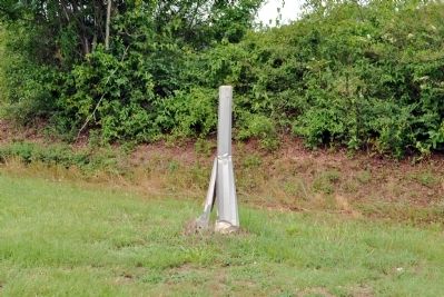
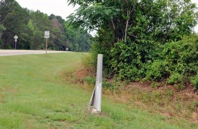
More about this marker. This marker replaced an earlier marker of the same title and text erected by the Georgia Historical Commission, which had disappeared from this location.
The marker was standing in 2010, and likely disappeared in early 2011.
The text was confirmed with a photograph on the "Historical Markers Across Georgia (www.34north.com) website.
Also see . . . Kolomoki Mounds. New Georgia Encyclopedia website entry (Submitted on June 21, 2012, by David Seibert of Sandy Springs, Georgia.)
Credits. This page was last revised on October 30, 2021. It was originally submitted on June 15, 2012, by David Seibert of Sandy Springs, Georgia. This page has been viewed 718 times since then and 19 times this year. Last updated on September 9, 2015, by Steve Masler of Memphis, Tennessee. Photos: 1, 2. submitted on June 15, 2012, by David Seibert of Sandy Springs, Georgia. • Bernard Fisher was the editor who published this page.

