Lincoln Park in Wayne County, Michigan — The American Midwest (Great Lakes)
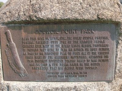
Council Point Park
Erected 1956 by Lincoln Park Historical Society.
Topics. This historical marker is listed in this topic list: Native Americans. A significant historical month for this entry is April 1763.
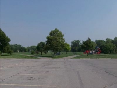
Location. 42° 14.202′ N, 83° 9.736′ W. Marker is in Lincoln Park, Michigan, in Wayne County. Marker can be reached from River Drive near Stewart Avenue. This marker is in Council Point Park, at the north end of the parking lot. Touch for map. Marker is in this post office area: Lincoln Park MI 48146, United States of America. Touch for directions.
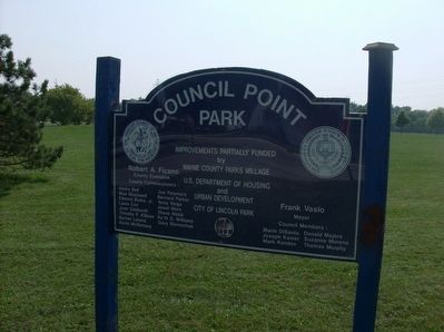
Other nearby markers. At least 8 other markers are within 2 miles of this marker, measured as the crow flies. A different marker also named Council Point Park (here, next to this marker); Council Point / Pontiac's Council (within shouting distance of this marker); Ecorse Korean War Memorial (approx. 0.9 miles away); Ecorse Vietnam Memorial (approx. 0.9 miles away); Lincoln Park Post Office (approx. 1.2 miles away); Goodell School Bell (approx. 1.2 miles away); Michigan Alkali Company (approx. 1.4 miles away); VFW Post 1136 Memorial (approx. 1.6 miles away). Touch for a list and map of all markers in Lincoln Park.
Credits. This page was last revised on June 16, 2016. It was originally submitted on September 11, 2015, by Joel Seewald of Madison Heights, Michigan. This page has been viewed 459 times since then and 43 times this year. Photos: 1, 2, 3. submitted on September 11, 2015, by Joel Seewald of Madison Heights, Michigan.


