Richmond in Fort Bend County, Texas — The American South (West South Central)
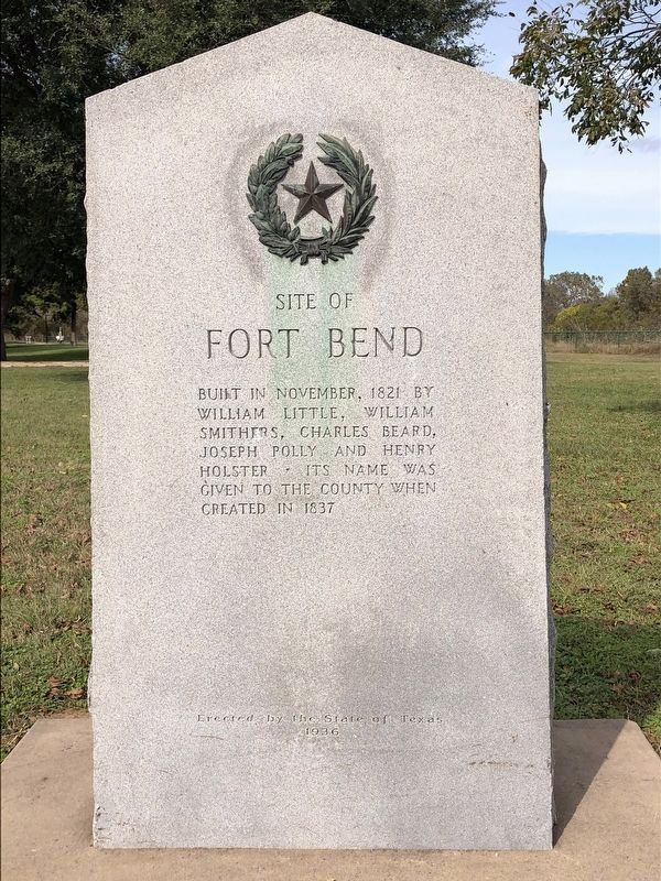
Site of Fort Bend
William Little, William
Smithers, Charles Beard,
Joseph Polly, and Henry
Holster. - Its name was
given to the county when
created in 1837.
Erected 1936 by State of Texas. (Marker Number 8993.)
Topics and series. This historical marker is listed in these topic lists: Forts and Castles • Settlements & Settlers. In addition, it is included in the Texas 1936 Centennial Markers and Monuments series list. A significant historical month for this entry is November 1821.
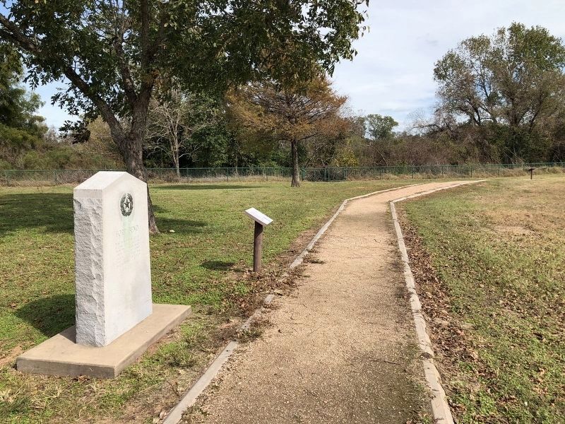
Location. 29° 34.636′ N, 95° 45.107′ W. Marker is in Richmond, Texas, in Fort Bend County. Marker can be reached from Eugene Heimann Circle. This marker has been relocated from its previous location to the Mirabeau B. Lamar Homestead Park and Archeological Reserve. Touch for map. Marker is at or near this postal address: 1717 Eugene Heimann Circle, Richmond TX 77469, United States of America. Touch for directions.
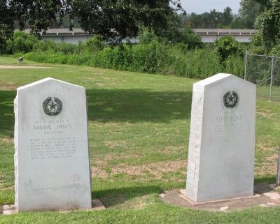
Other nearby markers. At least 8 other markers are within walking distance of this marker. Fort Bend (here, next to this marker); Pioneer Artifacts (within shouting distance of this marker); Mirabeau B. Lamar (within shouting distance of this marker); Fort Bend County (within shouting distance of this marker); Agriculture (within shouting distance of this marker); Lamar's Last Years in Richmond (within shouting distance of this marker); The Lamar Slaves (about 300 feet away, measured in a direct line); Natural tributes of the Site (about 300 feet away). Touch for a list and map of all markers in Richmond.
Regarding Site of Fort Bend. While the marker designates this as the location of Fort Bend, the actual site of the fort is now under the Brazos River, a short distance away.
Also see . . .
1. Fort Bend County. "- by 2011 Fort Bend was ranked the fourth most racially-diverse country in the United States by USA Today -" (Submitted on June 30, 2013, by Richard E. Miller of Oxon Hill, Maryland.)
2. Fort Bend - The Handbook of Texas Online. Texas State Historical Association (TSHA) (Submitted on November 18, 2018, by Brian Anderson of Humble, Texas.)
Credits. This page was last revised on November 28, 2018. It was originally submitted on June 30, 2013, by Richard E. Miller of Oxon Hill, Maryland. This page has been viewed 1,406 times since then and 72 times this year. Last updated on November 18, 2018, by Brian Anderson of Humble, Texas. Photos: 1. submitted on November 18, 2018, by Brian Anderson of Humble, Texas. 2. submitted on June 30, 2013, by Richard E. Miller of Oxon Hill, Maryland. 3. submitted on November 18, 2018, by Brian Anderson of Humble, Texas. • Andrew Ruppenstein was the editor who published this page.


