Near Maybole in South Ayrshire, Scotland, United Kingdom — Northwestern Europe (the British Isles)
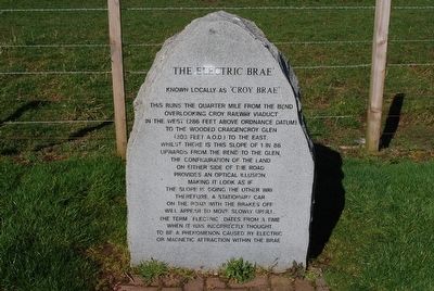
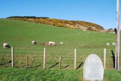
The Electric Brae'
Known locally as 'Croy Brae'
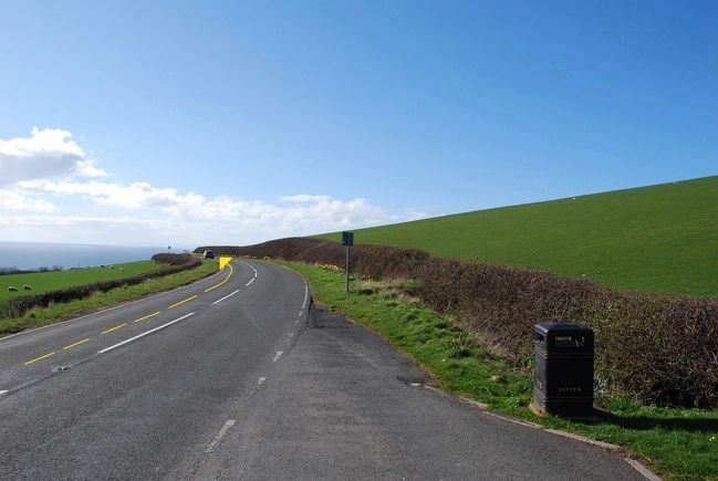
This runs the quarter mile from the bend overlooking Croy Railway Viaduct in the west (286 feet above ordnance Datum) to the wooded Craigencroy Glen (303 feet A.O.D.) to the east.
Whilst there is this slope of 1 in 86 upwards from the bend to the glen, the configuration of the land on either side of the road provides an optical illusion, making it look as if the slope is going the other way therefore, a stationary car on the road with the brakes off will appear to move slowly uphill. The term Electric' dates from a time when it was incorrectly thought to be a phenomenon caused by electric or magnetic attraction within the brae.
Topics. This historical marker is listed in these topic lists: Roads & Vehicles • Science & Medicine.
Location. 55° 22.875′ N, 4° 45.441′ W. Marker is near Maybole, Scotland, in South Ayrshire. Marker is on A719. Touch for map. Marker is in this post office area: Maybole, Scotland KA19 8JS, United Kingdom. Touch for directions.
Other nearby markers. At least 2 other markers are within 10 kilometers of this marker, measured as the crow flies. Crossraguel Abbey (approx. 5.2 kilometers away); Burns Cottage (approx. 9.7 kilometers away).
Credits. This page was last revised on January 27, 2022. It was originally submitted on September 12, 2015, by Brandon Fletcher of Chattanooga, Tennessee. This page has been viewed 307 times since then and 20 times this year. Photos: 1, 2, 3. submitted on September 12, 2015, by Brandon Fletcher of Chattanooga, Tennessee. • Andrew Ruppenstein was the editor who published this page.


