Chickamauga in Walker County, Georgia — The American South (South Atlantic)
Skirmish at McLemore’s Cove
Opportunity Lost, September 10-11, 1863
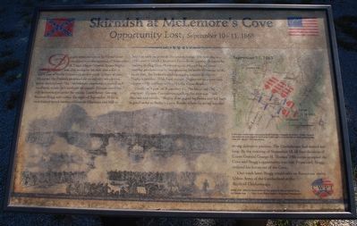
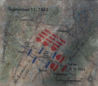
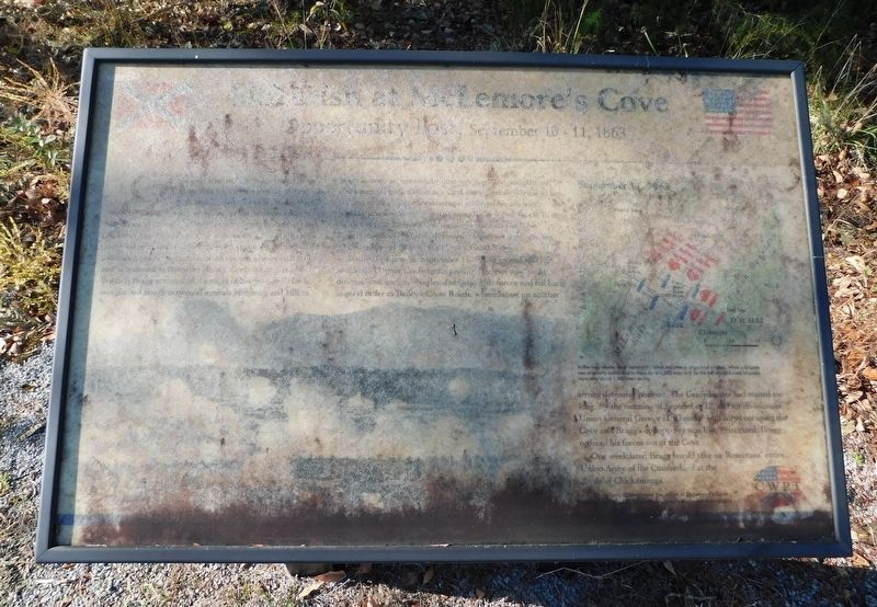
Despite stout resistance by Confederate cavalrymen on the morning of September 10, Union Major General James Negley was able to deploy his men into a line of battle east of Davis' Crossroads (a few yards in front of you). However, the Federals prepared for an infantry attack that never materialized. The Confederate commanders stalled and vacillated, unable to coordinate an assault. Disappointed but still determined to strike the enemy, Confederate General Braxton Bragg sent orders the night of September 10 for a coordinated attack between Generals Hindman and Hill to begin as early as possible the next morning. The next day, as Hill's men (Patrick Cleburne's Confederate cavalry division) lay waiting in Dug Gap. Hindman again delayed his advance, wasting precious time by reorganizing his order of march. In the meantime, the Federals sent up reinforcements to relieve Negley's position. With fresh troops Negley set up a new line, supported by artillery, west of Davis' Cross Roads.
Finally, at 4 PM on September 11, Hindman and Hill attacked. Despite Confederate artillery fire that was "well-directed and terrific," Negley disengaged his forces and fell back in good order to Bailey's Cross Roads, where he set up another strong defensive position. The Confederates had waited too long. By the morning of September 12, all four divisions of Union General George H. Thomas' 14th corps occupied the Cove and Bragg's opportunity was lost. Frustrated, Bragg ordered his forces out of the Cove.
One week later, Bragg would take on Rosecrans' entire Union Army of the Cumberland at the Battle of Chickamauga.
Erected by Civil War Preservation Trust.
Topics. This historical marker is listed in this topic list: War, US Civil. A significant historical date for this entry is September 10, 1863.
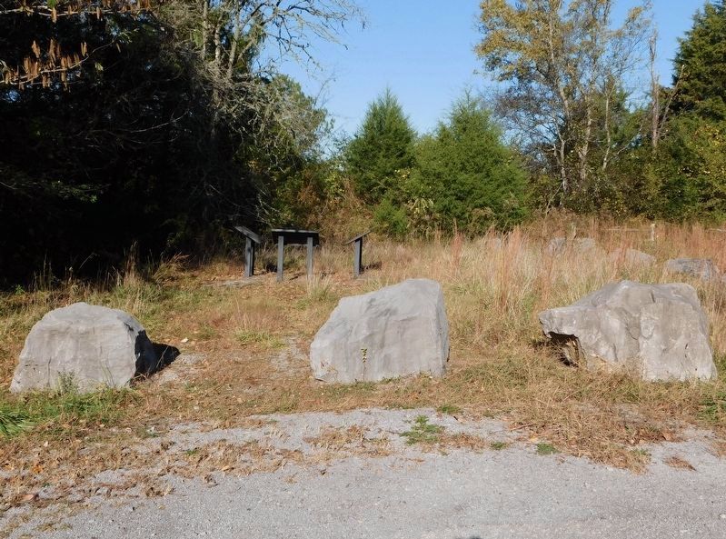
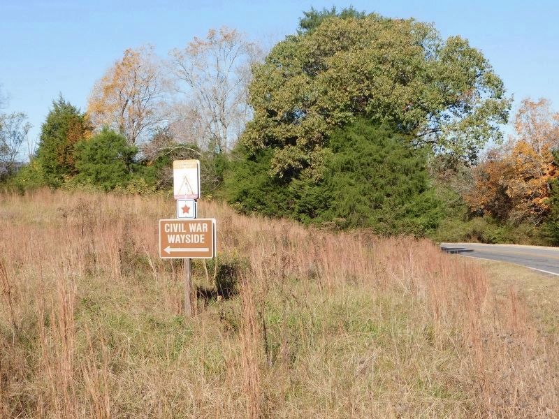
Location. 34° 45.149′ N, 85° 21.259′ W. Marker has been reported unreadable. Marker is in Chickamauga, Georgia, in Walker County. Marker can be reached from Georgia Route 193, 0.8 miles east of Cove Road (Georgia Route 341), on the right when traveling east. Located at the Civil War Wayside off of 193. Touch for map. Marker is in this post office area: Chickamauga GA 30707, United States of America. Touch for directions.
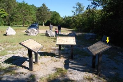
Other nearby markers. At least 8 other markers are within 6 miles of this location, measured as the crow flies. A different marker also named Skirmish at McLemore’s Cove (here, next to this marker); a different marker also named Skirmish at McLemore’s Cove (here, next to this marker); Martin Davis House and Farm (approx. 0.8 miles away); Catlett’s Gap (approx. 2.9 miles away); Stephens Gap (approx. 4 miles away); Fort Cumming (approx. 4.6 miles away); Gowan’s (Gower’s) Ford And Widow Glenn’s Grave (approx. 4.7 miles away); Marsh-Warthen House (approx. 5.1 miles away). Touch for a list and map of all markers in Chickamauga.
Also see . . . Maneuvers at McLemore's Cove. American Battlefield Trust website entry (Submitted on September 16, 2015.)
Credits. This page was last revised on November 24, 2022. It was originally submitted on September 15, 2015, by Brandon Fletcher of Chattanooga, Tennessee. This page has been viewed 956 times since then and 51 times this year. Last updated on November 20, 2022, by Bradley Owen of Morgantown, West Virginia. Photos: 1, 2. submitted on September 15, 2015, by Brandon Fletcher of Chattanooga, Tennessee. 3. submitted on November 20, 2022, by Bradley Owen of Morgantown, West Virginia. 4. submitted on September 15, 2015, by Brandon Fletcher of Chattanooga, Tennessee. 5, 6. submitted on November 20, 2022, by Bradley Owen of Morgantown, West Virginia. • Bernard Fisher was the editor who published this page.
