Mammoth in Yellowstone National Park in Park County, Wyoming — The American West (Mountains)
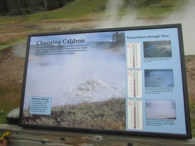
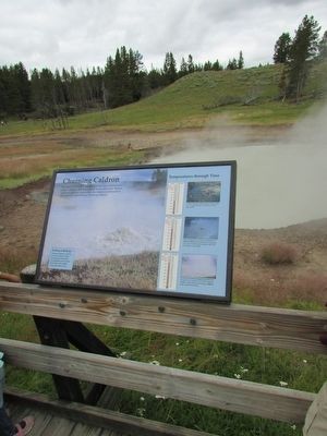
Churning Caldron
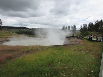
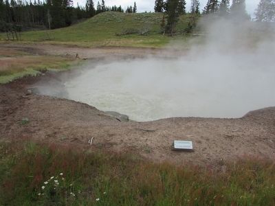
Frothing and fuming as heat and gas rise from Yellowstone’s magma chamber, this muddy pool churns and cooks. Shaken again and again by earthquakes, the temperature beneath it rises and falls, transforming Churning Caldron.
Roiling or Boiling?
Churning Caldron is scalding hot, but not boiling. Gases rise through vents opened by earthquakes, then rumble and bubble to the surface, causing the water to roil.
< Sidebar :>
Temperatures through Time
In 1971, Churning Caldron defied its name. Mats of microorganisms grew on the pool’s warm, calm surface.
Jolted repeatedly by a swarm of earthquakes in 1978 and 1979, Churning Caldron’s temperature rose. Gases bubbled up and microbes died. The pool began to churn again.
Nearly five hundred earthquakes shook the area between July 1 and July 15 in 1995! Churning Caldron’s water still roiled violently in 2002 as gases escaped from below.
Erected by National Park Service.
Topics. This historical marker is listed in this topic list: Natural Features.
Location. 44° 37.269′ N, 110° 26.069′ W. Marker is in Yellowstone National Park, Wyoming, in Park County. It is in Mammoth. Marker can be reached from Grand Loop Road, on the left when traveling north. Marker is on a walking trail in the Mud Volcano area. Touch for map. Marker is in this post office area: Yellowstone National Park WY 82190, United States of America. Touch for directions.
Other nearby markers. At least 8 other markers are within walking distance of this marker. Black Dragon’s Caldron (about 400 feet away, measured in a direct line); Mud Geyser (about 700 feet away); Grizzly Fumarole (approx. 0.2 miles away); Cooking Hillside (approx. 0.2 miles away); Dragon's Mouth Spring (approx. ¼ mile away); Mud Volcano (approx. ¼ mile away); Volcanic Landscape (approx. half a mile away); Sulphur Caldron (approx. half a mile away). Touch for a list and map of all markers in Yellowstone National Park.
Credits. This page was last revised on February 16, 2023. It was originally submitted on September 15, 2015, by Bill Coughlin of Woodland Park, New Jersey. This page has been viewed 496 times since then and 30 times this year. Photos: 1, 2, 3, 4. submitted on September 15, 2015, by Bill Coughlin of Woodland Park, New Jersey.


