White Sulphur in Scott County, Kentucky — The American South (East South Central)
St. Francis Church
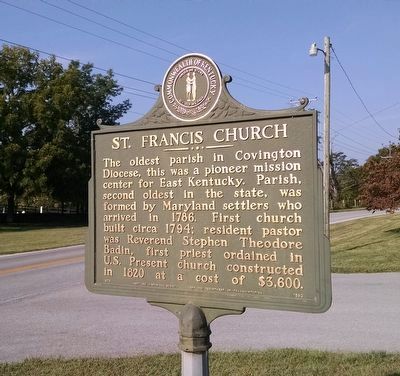
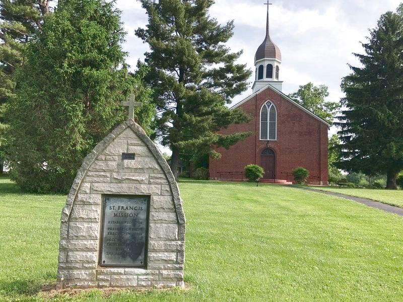
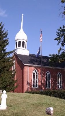
The oldest parish in Covington Diocese, this was a pioneer mission center for East Kentucky. Parish, second oldest in the state, was formed by Maryland settlers who arrived in 1786. First church built circa 1794; resident pastor was Reverend Stephen Theodore Badin, first priest ordained in U.S. Present church constructed in 1820 at a cost of $3,600.
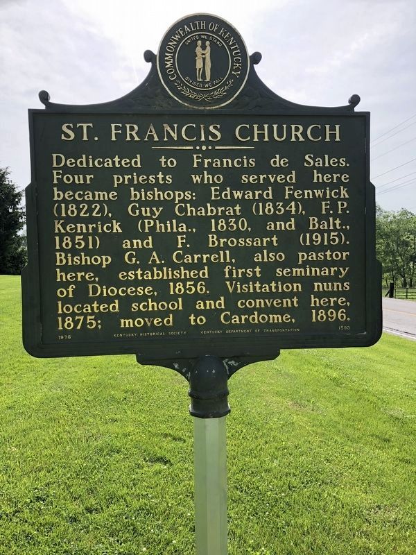
Dedicated to Francis de Sales. Four priests who served here became bishops: Edward Fenwick (1822), Guy Chabrat (1834), F.P. Kenrick (Philadelphia, 1830, and Baltimore, 1851) and F. Brossart (1915). Bishop G.A. Carrell, also pastor here, established first seminary of Diocese, 1856. Visitation nuns located school and convent here, 1875; moved to Cardome, 1896.
Erected 1976 by Kentucky Historical Society, Kentucky Department of Transportation. (Marker Number 1593.)
Topics and series. This historical marker is listed in these topic lists: Churches & Religion • Settlements & Settlers. In addition, it is included in the Kentucky Historical Society series list. A significant historical year for this entry is 1786.
Location. 38° 12.43′ N, 84° 41.827′ W. Marker is in White Sulphur, Kentucky, in Scott County. Marker is on Frankfort Pike (U.S. 460) 0.2 miles east of White Oak Road, on the right when traveling west. Touch for map. Marker is at or near this postal address: 4086 Frankfort Pike, Georgetown KY 40324, United States of America. Touch for directions.
Other nearby markers. At least 8 other markers are within 4 miles of this marker, measured as the crow flies. Branham's Mill / Galloway Pike Iron Bridge (approx. 2.9 miles away); Sons & Daughters of Relief Cemetery (approx. 3.9 miles away); Midway Presbyterian Church (approx. 4 miles away); Midway (approx. 4 miles away); Edward Dudley Brown / Noted Horseman (approx. 4 miles away); "Sue Mundy" Here (approx. 4 miles away); Morgan at Midway (approx. 4 miles away); St. Matthew A.M.E. Church (approx. 4.1 miles away).
Credits. This page was last revised on May 24, 2022. It was originally submitted on September 16, 2015, by Dave Knoch of Scott County, Kentucky. This page has been viewed 457 times since then and 32 times this year. Photos: 1. submitted on September 16, 2015, by Dave Knoch of Scott County, Kentucky. 2, 3. submitted on May 23, 2022, by Brian K. Hall of Lexington, Kentucky. 4. submitted on September 16, 2015, by Dave Knoch of Scott County, Kentucky. • Bill Pfingsten was the editor who published this page.


