Canton in St. Lawrence County, New York — The American Northeast (Mid-Atlantic)
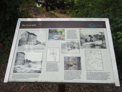
The Grist Mill
If the ravages of swollen rivers and severe weather had not done enough to damage this and similar mills, by the early 1900s, the big mills in the mid-west had opened up and began to flood the East with all kinds of ground grain, corn, oats, wheat, and barley. SLCHA [St. Lawrence County Historical Association]
The mill had been built out onto bedrock into the river and could use power directly from the dam, but it was vulnerable to destructive forces of floods, ice and logs coming down river. It suffered significant damage in the late 1800s, and was repaired, but was finally washed out by flood waters on Novermber 18, 1927. SLCHA; Dwight Church, SLU [ST. Lawrence University], ODY Archives; SLHA
This diagram shows the basic parts of a typical macjine for grinding grain into flour. The water wheel used in the grist mill was probably a breast wheel, possibly 10 or 12 feet in diameter. It may have been manufactured on the island or on Water Street. Louis Hunter, A Hisory of Industrial Power in the United States
The two mill stones here on the bank, known as French Buhr stones, were probably made in London or France. Because there was no native stone available, the mill stones were made from pieces of stone that had been fitted together, set in a plaster or a cement-like material, and held in place by an iron band around the edge.
This is a detail of a survey map prepared by WCT Surveyors P/C., Canton, NY. Site features were located by David Babson, archeologist with Rush Consulting. Nearly 100 feet long from the inlet at the dam, a raceway provided water power for the grist mill and the sash and blind factory. Originally blasted out of solid rock with dynamite, it is now partially filled with rubble from the fallen building. WCT Survey Map, 2003
Erected by Grasse River Heritage.
Topics. This historical marker is listed in these topic lists: Industry & Commerce • Waterways & Vessels. A significant historical year for this entry is 1927.
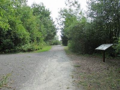
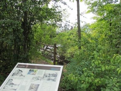
Location. 44° 35.769′ N, 75° 10.507′ W. Marker is in Canton, New York, in St. Lawrence County. Marker can be reached from West Main Street (U.S. 11) 0.2 miles east of Gouverneur Street (U.S. 11). Marker is on the trail in Heritage Park. The park is on the north side of US 11 between the east and west channels of the Grasse River. Touch for map. Marker is in this post office area: Canton NY 13617, United States of America. Touch for directions.
Other nearby markers. At least 8 other markers are within walking distance
of this marker. The West Channel of the Grasse River (a few steps from this marker); The Sash and Blind Factory (a few steps from this marker); The East Channel of the Grasse River (within shouting distance of this marker); Canton's Islands / Falls Island in 1898 (within shouting distance of this marker); The King Iron Bowstring Bridge (within shouting distance of this marker); Logging and Lumbering (within shouting distance of this marker); Floods, Fires, and Pollution (about 300 feet away, measured in a direct line); Water Street and the Third Dam (about 300 feet away). Touch for a list and map of all markers in Canton.
Credits. This page was last revised on June 16, 2016. It was originally submitted on September 18, 2015, by Anton Schwarzmueller of Wilson, New York. This page has been viewed 475 times since then and 26 times this year. Photos: 1, 2, 3. submitted on September 18, 2015, by Anton Schwarzmueller of Wilson, New York.


