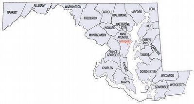
Near Andersontown in Caroline County, Maryland — The American Northeast (Mid-Atlantic)
North-South Boundary Between the State of Maryland and the State of Delaware
Inscription.
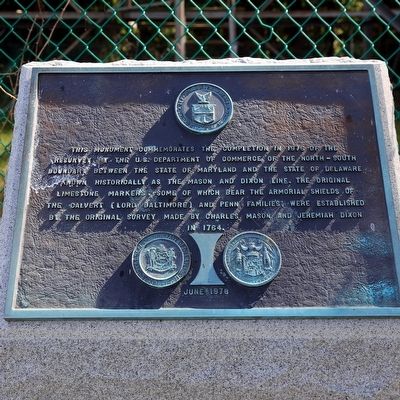
This monument commemorates the completion in 1976 of the resurvey by the U.S. Department of Commerce of the north-south boundary between the State of Maryland and the State of Delaware known historically as the Mason and Dixon Line. The original limestone markers, some of which bear the armorial shields of the Calvert (Lord Baltimore) and Penn families, were established by the original survey made by Charles Mason and Jeremiah Dixon in 1764.
Erected 1978 by Department of Commerce, United States of America.
Topics. This historical marker is listed in these topic lists: Colonial Era • Political Subdivisions. A significant historical year for this entry is 1976.
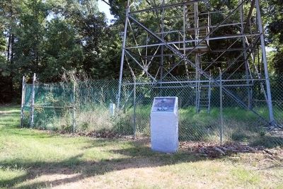
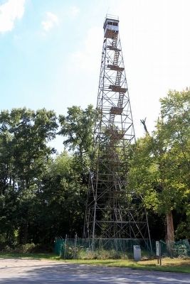
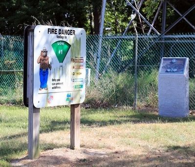
Location. 38° 48.098′ N, 75° 43.233′ W. Marker is near Andersontown, Maryland, in Caroline County. Marker is on Shore Highway (Maryland Route 404) near the State Line, on the right when traveling east. It is at the base of the fire tower, on the Maryland side of the Maryland-Delaware state line. Touch for map. Marker is in this post office area: Federalsburg MD 21632, United States of America. Touch for directions.
Other nearby markers. At least 8 other markers are within 7 miles of this marker, measured as the crow flies. Todd's Chapel United Methodist Church (approx. 3.4 miles away in Delaware); Bethel Methodist Church (approx. 6.1 miles away in Delaware); 6 PDR. Nordenfeldt 57 M.M., Rapid Fire Gun. (approx. 6.2 miles away); American Legion (approx. 6.2 miles away); William Still Center (approx. 6½ miles away); Edmondson's Reserve (approx. 6.6 miles away); Early Commercial Agriculture (approx. 6.6 miles away); White Tenant Farmers (approx. 6.6 miles away).
Regarding North-South Boundary Between the State of Maryland and the State of Delaware. In 1731, the fifth Lord Baltimore petitioned King George II for an official resolution of the boundary dispute. In the ensuing negotiations the Calverts tried to hold out for the 40th parallel, but Pennsylvania colonists had settled enough land to the west and southward of Philadelphia that this was no longer practical. In 1732 the parties agreed that the boundary line should run east from Cape Henlopen to the midpoint of the peninsula, then north to a tangency with the west side of the twelve-mile radius arc around New Castle, then around the arc to its northernmost point, then due north to an east-west line 15 miles south of Philadelphia. It was a bad deal for the Calverts. The east-west line would turn out to be about 19 miles south of the 40th parallel, and, as the map appended to the agreement shows, would intersect the arc. The map
placed ‘Cape Hinlopen’ at what is now Fenwick Island, almost 20 miles to the south as well; this error was an attempt at deception, not ignorance .
Also see . . . Delaware's State Boundaries. Delaware Geological Survey PDF (Submitted on February 3, 2021, by Larry Gertner of New York, New York.)
Additional keywords. Mason-Dixon Line
Credits. This page was last revised on January 15, 2022. It was originally submitted on September 19, 2015, by J. J. Prats of Powell, Ohio. This page has been viewed 483 times since then and 31 times this year. Photos: 1, 2, 3, 4, 5. submitted on September 19, 2015, by J. J. Prats of Powell, Ohio.
