Menominee in Menominee County, Michigan — The American Midwest (Great Lakes)
Bay de Nocquet Trail
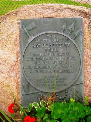
tablet marks the
Bay de Nocquet
Trail
of the Menominee
and other Indian tribes
U.S. Mail runners
and earliest fur traders
also Indian cemetery
Erected 1917 by Placed by Menominee Chapter Daughters of the American Revolution.
Topics and series. This historical marker is listed in these topic lists: Native Americans • Roads & Vehicles. In addition, it is included in the Daughters of the American Revolution series list.
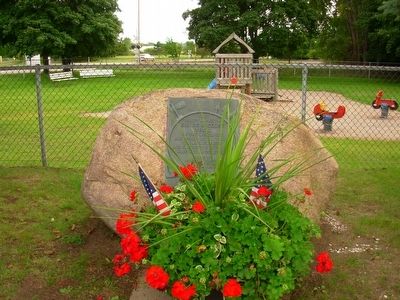
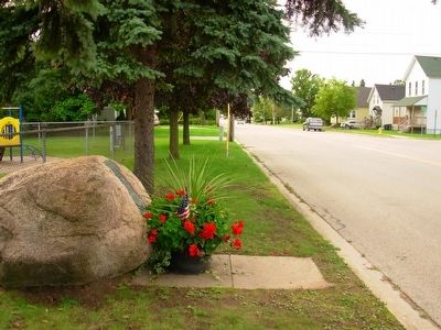
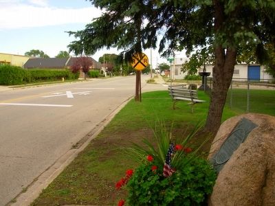
Location. 45° 6.471′ N, 87° 37.636′ W. Marker is in Menominee, Michigan, in Menominee County. Marker is at the intersection of 10th Avenue and 19th Street, on the right when traveling east on 10th Avenue. Marker is located in Reindl West End Park. Touch for map. Marker is in this post office area: Menominee MI 49858, United States of America. Touch for directions.
Other nearby markers. At least 8 other markers are within walking distance of this marker. Menominee Area (approx. 0.4 miles away); Menominee River (approx. 0.4 miles away in Wisconsin); 10,000 Board Feet of Logs (approx. 0.4 miles away in Wisconsin); Evancheck Cabin (approx. 0.4 miles away in Wisconsin); Queen Marinette (approx. 0.4 miles away in Wisconsin); Isaac Stephenson (approx. half a mile away in Wisconsin); John Hubley (approx. half a mile away in Wisconsin); Menominee County Courthouse Bell (approx. 0.6 miles away). Touch for a list and map of all markers in Menominee.
Credits. This page was last revised on May 19, 2023. It was originally submitted on September 21, 2015, by Paul Fehrenbach of Germantown, Wisconsin. This page has been viewed 463 times since then and 26 times this year. Photos: 1, 2, 3, 4. submitted on September 21, 2015, by Paul Fehrenbach of Germantown, Wisconsin. • Andrew Ruppenstein was the editor who published this page.


