Madisonville in Hopkins County, Kentucky — The American South (East South Central)
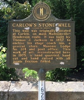
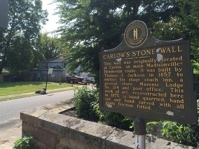
Carlow's Stone Wall
Erected 1977 by the Kentucky Historical Society Kentucky Department of Highways. (Marker Number 1620.)
Topics and series. This historical marker is listed in this topic list: Industry & Commerce. In addition, it is included in the Kentucky Historical Society series list. A significant historical year for this entry is 1857.
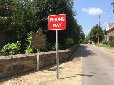
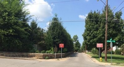
Location. 37° 19.431′ N, 87° 29.855′ W. Marker is in Madisonville, Kentucky, in Hopkins County. Marker is at the intersection of South Franklin Street and Hall Street, on the right when traveling south on South Franklin Street. Touch for map. Marker is at or near this postal address: South Franklin Street, Madisonville KY 42431, United States of America. Touch for directions.
Other nearby markers. At least 8 other markers are within walking distance of this marker. Chittenden P. Lyon, Jr. House (within shouting distance of this marker); Turner Ruby House (within shouting distance of this marker); The Hockersmith House (about 700 feet away, measured in a direct line); Gov. Ruby Laffoon (approx. 0.2 miles away); Courthouse Burned (approx. ¼ mile away); County Named, 1806 (approx. 0.3 miles away); Dr. Thomas Wright Gardiner House (approx. 0.4 miles away); Rosenwald High School / Professor C. L. Timberlake (approx. 0.6 miles away). Touch for a list and map of all markers in Madisonville.
Credits. This page was last revised on December 28, 2020. It was originally submitted on September 23, 2015, by Mark Hilton of Montgomery, Alabama. This page has been viewed 794 times since then and 41 times this year. Photos: 1, 2, 3, 4. submitted on September 23, 2015, by Mark Hilton of Montgomery, Alabama.


