Near Scott Bar in Siskiyou County, California — The American West (Pacific Coastal)
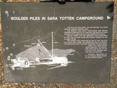
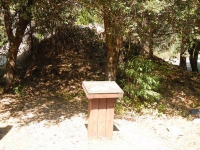
Boulder Piles in Sara Totten Campground
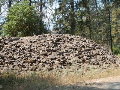
The piles of boulders you see before you were made around 1850.
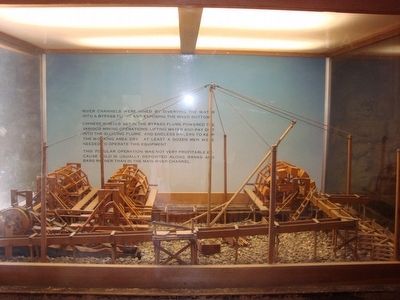
The miners used both windlass and water powered derricks to lift and pile these rocks in their search for placer gold in the underlying sands.
Water power for the derricks was developed by the use of wing dams and water wheels in the Klamath River.
The power was converted by belts and pulleys to a gear box. Here the operator could control the boom and use it to raise and move the boulders.
Once the large rocks were removed, the gravel and sand could be put in a sluice box, washed and the gold extracted.
Nuggets weighing up to 16 ounces were found in the Klamath River.
Topics. This historical marker is listed in these topic lists: Industry & Commerce • Waterways & Vessels.
Location. 41° 47.238′ N, 123° 3.152′ W. Marker is near Scott Bar, California, in Siskiyou County. Marker can be reached from Klamath River Highway (California Route 96 at milepost 70) near Scott River Road, on the right when traveling west. Touch for map. Marker is at or near this postal address: 30764 Klamath River Highway, Scott Bar CA 96085, United States of America. Touch for directions.
Other nearby markers. At least 4 other markers are within 12 miles of this marker, measured as the crow flies. Scott Bar (approx. 3.8 miles away); John F. Williams Memorial Bridge (approx. 10.1 miles away); Gus Meamber Pack Train Trail (approx. 10.6 miles away); Meamber School (approx. 11.9 miles away).
Credits. This page was last revised on August 18, 2020. It was originally submitted on September 26, 2015, by Barry Swackhamer of Brentwood, California. This page has been viewed 277 times since then and 11 times this year. Photos: 1, 2, 3, 4. submitted on September 26, 2015, by Barry Swackhamer of Brentwood, California.


