Near West Lafayette in Coshocton County, Ohio — The American Midwest (Great Lakes)
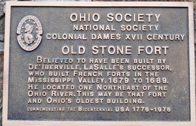
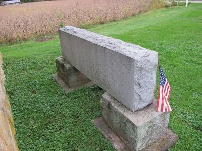
Old Stone Fort
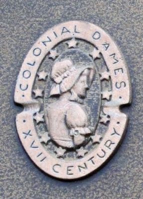
National Society
Colonial Dames XVII Century
Old Stone Fort
believed to have been built by
De’Iberville, LaSalle’s successor,
who built French forts in the
Mississippi Valley, 1679 to 1689. He located one northeast of the
Ohio River. This may be that fort
and Ohio’s oldest building.
Erected by Colonial Dames XVII Century.
Topics and series. This historical marker is listed in these topic lists: Exploration • Forts and Castles • Settlements & Settlers. In addition, it is included in the The Colonial Dames XVII Century, National Society series list.
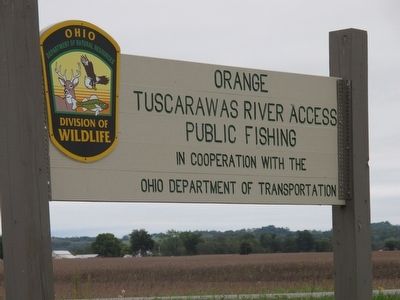
Location. 40° 16.939′ N, 81° 40.633′ W. Marker is near West Lafayette, Ohio, in Coshocton County. Marker is on County Route 254, on the right when traveling south. marker is east of St Rt 751, south of the Tuscarawas River. Touch for map. Marker is at or near this postal address: 22921 Co Rd 254, West Lafayette OH 43845, United States of America. Touch for directions.
Other nearby markers. At least 8 other markers are within 4 miles of this marker, measured as the crow flies. The Old Delaware Indian Town GEKELEMUKPECHUNK (approx. 3.7 miles away); Captain Freeman Davis (approx. 3.7 miles away); Wayne Woodrow "Woody" Hayes (approx. 3.7 miles away); West Lafayette War Memorial (approx. 3.8 miles away); Newcomerstown Korean War Memorial (approx. 3.8 miles away); West Lafayette Volunteer Fire Department Centennial (approx. 3.9 miles away); Pennsylvania National Guard Troop Train Accident, September 1950 (approx. 3.9 miles away); Koquechagachton (approx. 3.9 miles away). Touch for a list and map of all markers in West Lafayette.
Credits. This page was last revised on June 16, 2016. It was originally submitted on October 1, 2015, by Rev. Ronald Irick of West Liberty, Ohio. This page has been viewed 1,019 times since then and 47 times this year. Photos: 1, 2, 3, 4, 5, 6, 7, 8. submitted on October 1, 2015, by Rev. Ronald Irick of West Liberty, Ohio. • Andrew Ruppenstein was the editor who published this page.
