Manassas in Prince William County, Virginia — The American South (Mid-Atlantic)
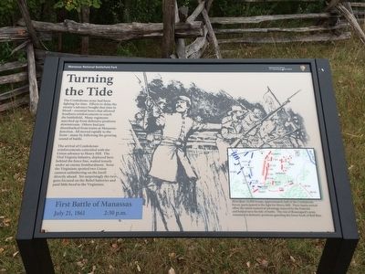
Turning the Tide
First Battle of Manassas
— July 21, 1861 2:30 p.m. —
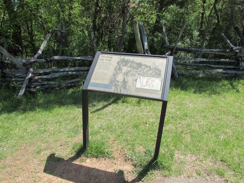
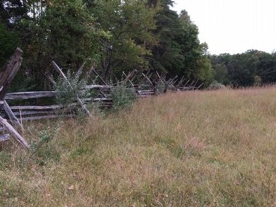
The arrival of Confederate reinforcements coincided with the Union advance to Henry Hill. The 33rd Virginia Infantry, deployed here behind the fence line, waited tensely under an enemy bombardment. Soon the Virginians spotted two Union cannon unlimbering on the knoll directly ahead. Yet surprisingly the two guns focused on the Rebel batteries and paid little heed to the Virginians.
(caption)
More than 16,000 troops, approximately half of the Confederate forces, participated in the fight for Henry Hill. Their timely arrival offset the initial numerical advantage enjoyed by the Federals and helped turn the tide of battle. The rest of Beauregard's army remained in defensive positions guarding the lower fords of Bull Run.
Erected by Manassas National Battlefield Park, National Park Service, U.S. Department of the Interior.
Topics. This historical marker is listed in these topic lists: Military • War, US Civil. A significant historical date for this entry is July 21, 1861.
Location. 38° 48.765′ N, 77° 31.157′ W. Marker is in Manassas, Virginia, in Prince William County. Marker can be reached from Sudley Road (Virginia Route 234) half a mile south of Lee Highway (U.S. 29), on the left when traveling south. Marker is located near the Visitor Center, in front of the fence line on the 1.1-mile Henry Hill trail. Touch for map. Marker is at or near this postal address: 6511 Sudley Road, Manassas VA 20109, United States of America. Touch for directions.
Other nearby markers. At least 8 other markers are within walking distance of this marker. Charge on Griffin’s Guns (here, next to this marker); Lieutenant William P. Mangum (within shouting distance of this marker); Colonel Thomas (about 300 feet away, measured in a direct line); Point-Blank Volley (about 400 feet away); Point Blank Volley (about 400 feet away); General Barnard Elliott Bee (about 500 feet away); Washington (Louisiana) Artillery Battalion (about 500 feet away); Thomas Jonathan Jackson (about 600 feet away). Touch for a list and map of all markers in Manassas.
Also see . . .
1. Old Marker at this Location. This marker replaced an older one at this location titled “Charge on Griffin’s Guns” (Submitted on October 2, 2015.)
2. Manassas National Battlefield Park. National Park Service (Submitted on October 2, 2015.)
Credits. This page was last revised on May 10, 2023. It was originally submitted on October 1, 2015, by Shane Oliver of Richmond, Virginia. This page has been viewed 475 times since then and 27 times this year. Photos: 1. submitted on October 1, 2015, by Shane Oliver of Richmond, Virginia. 2. submitted on April 29, 2023, by Bill Coughlin of Woodland Park, New Jersey. 3. submitted on October 1, 2015, by Shane Oliver of Richmond, Virginia. • Bernard Fisher was the editor who published this page.


