Andersonville in Macon County, Georgia — The American South (South Atlantic)
View from a Pigeon-Roost
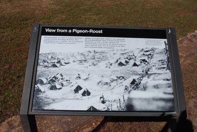
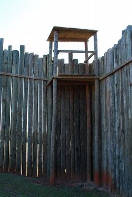
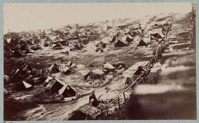
This photograph was taken in August 1864 from a sentry box just downslope from here. The photographer was A.J. Riddle, who was preparing a report for the Confederate government.
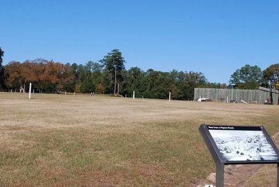
Riddle's seven glass-plate negatives were apparently the only photographs taken of Andersonville prison during the war. Like a double exposure, the surviving photos superimpose the historic reality on today's pastoral scene. You are looking at the same piece of ground Riddle photographed.
(caption)
The photograph shows the deadline, a camp road (North or Market Street), and the crowded shebangs. Shelters were more scattered in the swampy area near the creek.
Erected by National Park Service.
Topics. This historical marker is listed in this topic list: War, US Civil. A significant historical month for this entry is August 1864.
Location. 32° 11.683′ N, 84° 7.631′ W. Marker is in Andersonville, Georgia, in Macon County. Marker is on Prison Site Road, 0.2 miles Cemetery Road, on the right when traveling south. Touch for map. Marker is in this post office area: Andersonville GA 31711, United States of America. Touch for directions.
Other nearby markers. At least 8 other markers are within walking distance of this marker. Pigeon-Roosts (about 400 feet away, measured in a direct line); Shebangs (about 500 feet away); The Expanded Stockade (about 500 feet away); Michigan (about 700 feet away); Monuments and Memories (about 800 feet away); Ohio (about 800 feet away); Escape Tunnels (about 800 feet away); Tennessee (approx. 0.2 miles away). Touch for a list and map of all markers in Andersonville.
Also see . . . Andersonville National Historic Site. National Park Service (Submitted on October 2, 2015.)
Credits. This page was last revised on June 16, 2016. It was originally submitted on October 1, 2015, by Brandon Fletcher of Chattanooga, Tennessee. This page has been viewed 348 times since then and 13 times this year. Photos: 1, 2, 3, 4. submitted on October 1, 2015, by Brandon Fletcher of Chattanooga, Tennessee. • Bernard Fisher was the editor who published this page.


