Terre Haute in Vigo County, Indiana — The American Midwest (Great Lakes)
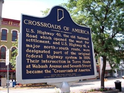
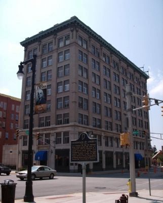
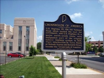
Crossroads of America
Erected 1998 by Indiana Historical Bureau, Vigo County Historical Society, replacing 1988 marker. (Marker Number 84.1998.1.)
Topics and series. This historical marker is listed in these topic lists: Roads & Vehicles • Settlements & Settlers. In addition, it is included in the Indiana Historical Bureau Markers, and the The Historic National Road series lists. A significant historical year for this entry is 1926.
Location. 39° 27.996′ N, 87° 24.431′ W. Marker is in Terre Haute, Indiana, in Vigo County. Marker is at the intersection of U.S. 40 and North Seventh Street (Old U.S. 41), on the right when traveling west on U.S. 40. Touch for map. Marker is in this post office area: Terre Haute IN 47801, United States of America. Touch for directions.
Other nearby markers. At least 8 other markers are within walking distance of this marker. Eddie Taylor (within shouting distance of this marker); a different marker also named Crossroads of America (within shouting distance of this marker); Crossroads Plaza (about 300 feet away, measured in a direct line); a different marker also named Crossroads of America (about 300 feet away); Mordecai Peter Centennial Brown / Baseball Career Highlights (about 600 feet away); Fairbanks Hall / Fairbanks Hall Dome Restoration (approx. 0.2 miles away); Little Syria on the Wabash (approx. ¼ mile away); Chauncey Rose (approx. 0.3 miles away). Touch for a list and map of all markers in Terre Haute.
Also see . . . Video - - "Voice of The National Road" (Courtesy - YouTube)::. (Submitted on August 30, 2012, by Al Wolf of Veedersburg, Indiana.)
Credits. This page was last revised on January 4, 2020. It was originally submitted on July 7, 2008, by Al Wolf of Veedersburg, Indiana. This page has been viewed 1,576 times since then and 48 times this year. Photos: 1, 2, 3. submitted on July 7, 2008, by Al Wolf of Veedersburg, Indiana. • Christopher Busta-Peck was the editor who published this page.


