Near Burlington in Alamance County, North Carolina — The American South (South Atlantic)
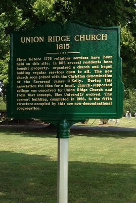
Union Ridge Church
1815
Topics. This historical marker is listed in this topic list: Churches & Religion. A significant historical year for this entry is 1815.
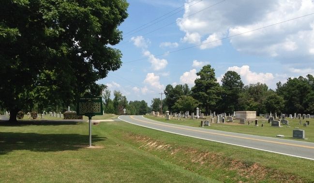
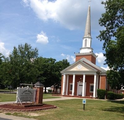
Location. 36° 12.47′ N, 79° 24.01′ W. Marker is near Burlington, North Carolina, in Alamance County. Marker is at the intersection of Union Ridge Road (County Route 1001) and Altamahaw Union Ridge Road, on the left when traveling north on Union Ridge Road. The marker is on the grounds of Union Ridge Church. Touch for map. Marker is at or near this postal address: 115 Altamahaw Union Ridge Road, Burlington NC 27217, United States of America. Touch for directions.
Other nearby markers. At least 8 other markers are within 5 miles of this marker, measured as the crow flies. The McCray School (approx. 2.2 miles away); a different marker also named McCray School (approx. 2.2 miles away); a different marker also named The McCray School (approx. 2.2 miles away); McCray Primitive Baptist Church (approx. 2.4 miles away); Pleasant Grove High School (approx. 4.2 miles away); Glencoe Mill Village (approx. 4.7 miles away); Glencoe - The School (approx. 4.8 miles away); Glencoe - The Marshall Family House Site (approx. 4.8 miles away). Touch for a list and map of all markers in Burlington.
Also see . . . Union Ridge Church. (Submitted on October 4, 2015.)
Credits. This page was last revised on June 16, 2016. It was originally submitted on October 3, 2015, by Patrick G. Jordan of Graham, North Carolina. This page has been viewed 615 times since then and 30 times this year. Photos: 1, 2, 3. submitted on October 3, 2015, by Patrick G. Jordan of Graham, North Carolina. • Bernard Fisher was the editor who published this page.


