Near Williamsburg in James City County, Virginia — The American South (Mid-Atlantic)
Colonial Parkway
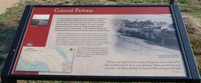
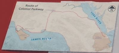
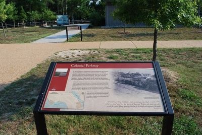
In 1930, Congress established Colonial National Monument (designated Colonial National Historical Park in 1936) to preserve and interpret the beginning and end of the British colonial experience in North America. The park included Jamestown, the first permanent English settlement and Yorktown, the last major battle of the American Revolution. The Colonial Parkway connects the two sites and Williamsburg.
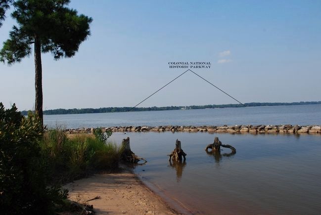
Charles E. Peterson designed the Colonial Parkway as a picturesque, scenic route with expansive views of the York and James Rivers and brick overpasses to allow visitors to travel between the three historic sites without encountering modern intrusions. Construction began in 1931 at Yorktown. It reached the Williamsburg tunnel then stopped at the outbreak of World War II. The Jamestown section was completed just in time for the 350th anniversary of Jamestown in 1957.
The Colonial Parkway extends from this parking lot to the Yorktown Battlefield parking lot. It is on the National Register of Historic Places and is designated an All-American Road.
To preserve and interpret the historic structures, landscapes and artifacts associated with the American colonial period from 1607 to 1781, at Jamestown, Yorktown and related sites, and to provide for a scenic highway connecting those sites for the benefit and enjoyment of the people.
Act of Congress, 1930
(caption)
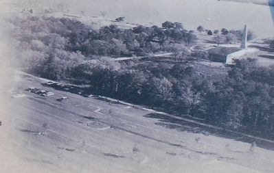
The Jamestown parking lot with the historic town site, 1957 Visitor Center, and 1907 Tercentenary Monument beyond, ca. 1957
Topics. This historical marker is listed in these topic lists: Roads & Vehicles • Settlements & Settlers. A significant historical year for this entry is 1930.
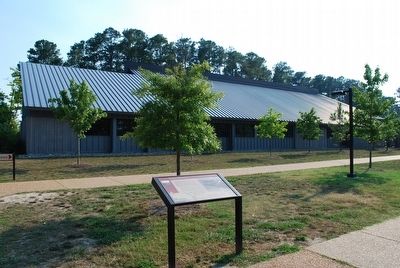
Location. 37° 12.684′ N, 76° 46.598′ W. Marker is near Williamsburg, Virginia, in James City County. Marker can be reached from the intersection of Colonial Parkway and Island Drive. Marker located near the entrance to the Historic Jamestowne Visitor Center. Touch for map. Marker is in this post office area: Williamsburg VA 23185, United States of America. Touch for directions.
Other nearby markers. At least 8 other markers are within walking distance of this marker. Governor Yeardley’s Lot 1620’s (about 400 feet away, measured in a direct line); A Place of Work (about 800 feet away); Iron and Industry (about 800 feet away); Pitch and Tar Swamp (about 800 feet away); Governor Harvey’s House 1630s (approx. 0.2 miles away); Tradesmen on Governor Harvey’s Lot 1630s (approx. 0.2 miles away); On Roads of Water (approx. 0.2 miles away); Swann’s Tavern 1670s (approx. 0.2 miles away). Touch for a list and map of all markers in Williamsburg.
Also see . . . Colonial Parkway. Colonial National Historical Park, National Park Service (Submitted on October 5, 2015.)
Credits. This page was last revised on June 16, 2016. It was originally submitted on October 4, 2015, by Brandon Fletcher of Chattanooga, Tennessee. This page has been viewed 604 times since then and 33 times this year. Photos: 1, 2, 3, 4, 5, 6. submitted on October 4, 2015, by Brandon Fletcher of Chattanooga, Tennessee. • Bernard Fisher was the editor who published this page.
