Scotland in St. Mary's County, Maryland — The American Northeast (Mid-Atlantic)
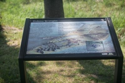
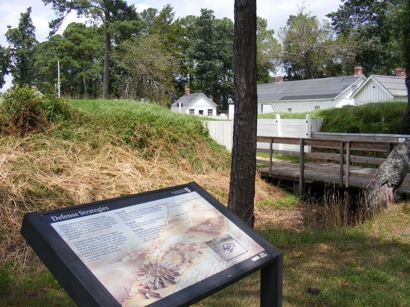
Defense Strategies
To meet this challenge, Union strategists devised a complex defense plan. They built three forts, a series of rifle pits and a gun battery, positioning them to catch enemies in a murderous crossfire. These defenses, bolstered by navy gunboats offshore, made Point Lookout virtually unassailable with the weapons of the day.
Fort #1
A four-gun redoubt - with 10-foot high walls and a 20-foot wide dry moat was built in the center of the peninsula to prevent uprisings from the prison pen.
Fort #2
Fort Lincoln was the main fortification and center for base activity.
Fort #3
Located about 100 yards offshore on the Chesapeake Bay side, Fort #3 was a manned, 4-gun earthen fort similar to Fort #1.
Caption of photo on lower right side of marker
Rifle pits protecting Point Lookout.
Erected by Maryland Park Service.
Topics. This historical marker is listed in these topic lists: Forts and Castles • War, US Civil.
Location. 38° 2.385′ N, 76° 19.44′ W. Marker is in Scotland, Maryland, in St. Mary's County. Marker is on Point Lookout Road (Maryland Route 5). Touch for map. Marker is in this post office area: Scotland MD 20687, United States of America. Touch for directions.
Other nearby markers. At least 8 other markers are within walking distance of this marker. A Bustling Civil War Community (here, next to this marker); Fort Lincoln (here, next to this marker); John Wilkes Booth (about 600 feet away, measured in a direct line); Point Lookout State Park (about 600 feet away); Point Lookout-Hammond Hospital (about 600 feet away); A Crucial Point (about 600 feet away); Let There Be Light (about 600 feet away); "Contraband" Camp (approx. 0.2 miles away). Touch for a list and map of all markers in Scotland.
Credits. This page was last revised on July 2, 2017. It was originally submitted on July 7, 2008, by Tom Fuchs of Greenbelt, Maryland. This page has been viewed 913 times since then and 6 times this year. Last updated on June 26, 2017, by Pete Payette of Orange, Virginia. Photos: 1. submitted on July 7, 2008, by Tom Fuchs of Greenbelt, Maryland. 2, 3, 4. submitted on June 26, 2017, by Pete Payette of Orange, Virginia. • Bill Pfingsten was the editor who published this page.


