Delaware in Delaware County, Ohio — The American Midwest (Great Lakes)
The March 1913 Flood
Inscription.
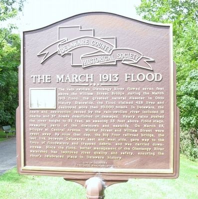
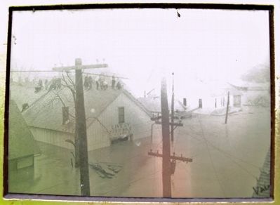
The rain swollen Olentangy River flowed seven feet
above the William Street Bridge during the March
1913 flood, the greatest natural disaster in Ohio
history. Statewide, the flood claimed 428 lives and
destroyed more than 20,000 homes. In Delaware,the
death and destruction caused by the rain swollen river included 18
deaths and 57 homes demolished or damaged. Heavy rains pushed
the river height to 32 feet., an amazing 23 feet above flood stage,
swamping parts of the downtown and eastside. On March 25,
bridges at Central Avenue, Winter Street and William Street were
swept away. By noon that day, the Big Four railroad bridge, the
last link between Delaware’s east and west side, gave way to the
force of floodwaters and trapped debris, and was carried down-
stream. Since the flood, better management of the Olentangy River
watershed has improved water quality and safety, ensuring the
river’s celebrated place in Delaware’s history.
Erected 2013 by City of Delaware.
Topics. This historical marker is listed in these topic lists: Bridges & Viaducts • Disasters • Environment. A significant historical date for this entry is March 25, 1913.
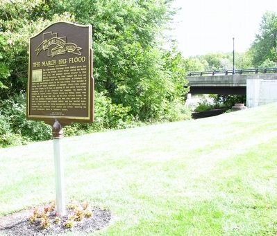
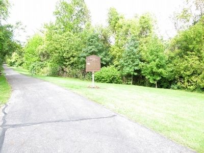
Location. 40° 17.934′ N, 83° 3.761′ W. Marker is in Delaware, Ohio, in Delaware County. Marker is at the intersection of William Street (U.S. 36) and Columbus Pike (U.S. 23), on the left when traveling east on William Street. marker is on a hiking trail, accessible off the sidewalk on William Street, between US 23 and the Olentangy River. Touch for map. Marker is at or near this postal address: 117 E William St, Delaware OH 43015, United States of America. Touch for directions.
Other nearby markers. At least 8 other markers are within walking distance of this marker. Delaware County: Anti-Slavery Stronghold / The Underground Railroad (within shouting distance of this marker); Patrick J. Foley Memorial Bridge (about 300 feet away, measured in a direct line); Site of the First Ohio State Football Game (approx. 0.2 miles away); 1897 Memorial Tree (approx. 0.2 miles away); In Memory of Dr. Roy Paul Wittlinger (approx. 0.2 miles away); The Sulphur Spring (approx. 0.2 miles away); The Harrison Trail (approx. 0.2 miles away); This Tablet and Beech Tree (approx. 0.2 miles away). Touch for a list and map of all markers in Delaware.
Credits. This page was last revised on May 18, 2019. It was originally submitted on October 6, 2015, by Rev. Ronald Irick of West Liberty, Ohio. This page has been viewed 946 times since then and 76 times this year. Photos: 1, 2, 3, 4, 5. submitted on October 6, 2015, by Rev. Ronald Irick of West Liberty, Ohio. • Bill Pfingsten was the editor who published this page.
