Lamoille in Elko County, Nevada — The American Mountains (Southwest)
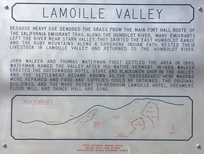
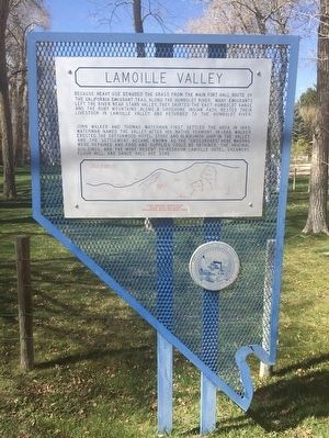
Lamoille Valley
John Walker and Thomas Waterman first settled the area in 1865: Waterman named the valley after his native Vermont. In 1868, Walker erected the Cottonwood Hotel, store and blacksmith shop in the valley, and the settlement became known as the "Crossroads". Here wagons were repaired and food and supplies could be obtained. The original buildings, and the more recent 20-bedroom Lamoille Hotel, creamery, flour mill, and dance hall are gone.
Erected by Nevada State Park System. Northeastern Nevada Historical Society. (Marker Number 109.)
Topics. This historical marker is listed in these topic lists: Notable Places • Settlements & Settlers. A significant historical year for this entry is 1865.
Location. 40° 43.651′ N, 115° 28.804′ W. Marker is in Lamoille, Nevada, in Elko County. Marker is on Lamoille Highway (Nevada Route 227) east of Rosehip Court, on the left when traveling east. Touch for map. Marker is in this post office area: Lamoille NV 89828, United States of America. Touch for directions.
Other nearby markers. At least 2 other markers are within 10 miles of this marker, measured as the crow flies. Naming of the Ruby Mountains (approx. 2.7 miles away); Fort Halleck (approx. 9.4 miles away).
Credits. This page was last revised on June 16, 2016. It was originally submitted on October 8, 2015, by Trev Meed of Round Mountain, Nevada. This page has been viewed 262 times since then and 18 times this year. Photos: 1. submitted on October 8, 2015, by Trev Meed of Round Mountain, Nevada. 2, 3. submitted on October 12, 2015, by Trev Meed of Round Mountain, Nevada. • Syd Whittle was the editor who published this page.


